A chance to see Orkney's wartime heritage and soak up some stunning coastal scenery.
This route can either be done directly from the ferry terminal at Lyness or, with the aid of a vehicle, as a shorter, circular route around Longhope itself.
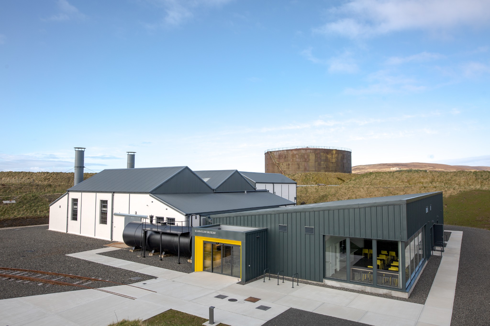
From the ferry head the short 100m or so west to the Scapa Flow Museum. This beautifully refurbished and extended building tells the fascinating story of the Flow and its crucial role in both the First and Second World Wars. It provides a great introduction to the island and sets in context a lot of the wartime structures that dominate the first couple of miles of the route.
From the museum turn right and follow the road for around 1km to reach a T junction. Turn left here, passing a number of wartime buildings and a small plantation of conifers, as the road takes a short, steep rise, twisting left then right. Looking west from here the eye is drawn up the glen, following the Burn of Ore, from where it flows high on the flanks of Sky Fea and Bakingstone Hill
A gradual downhill ride leads past the island's school before the road takes a sharp right and follows the small bay called Little Ayre. At the far end of the bay, you reach North Ness. From here, the village of Longhope is a mere 500m or so across the water. But the name Longhope means ‘long bay’ and the road now turns right to head roughly southwest for around 5km to reach the head of North Bay. At this point you’ll pass Melsetter House on your right-hand side.
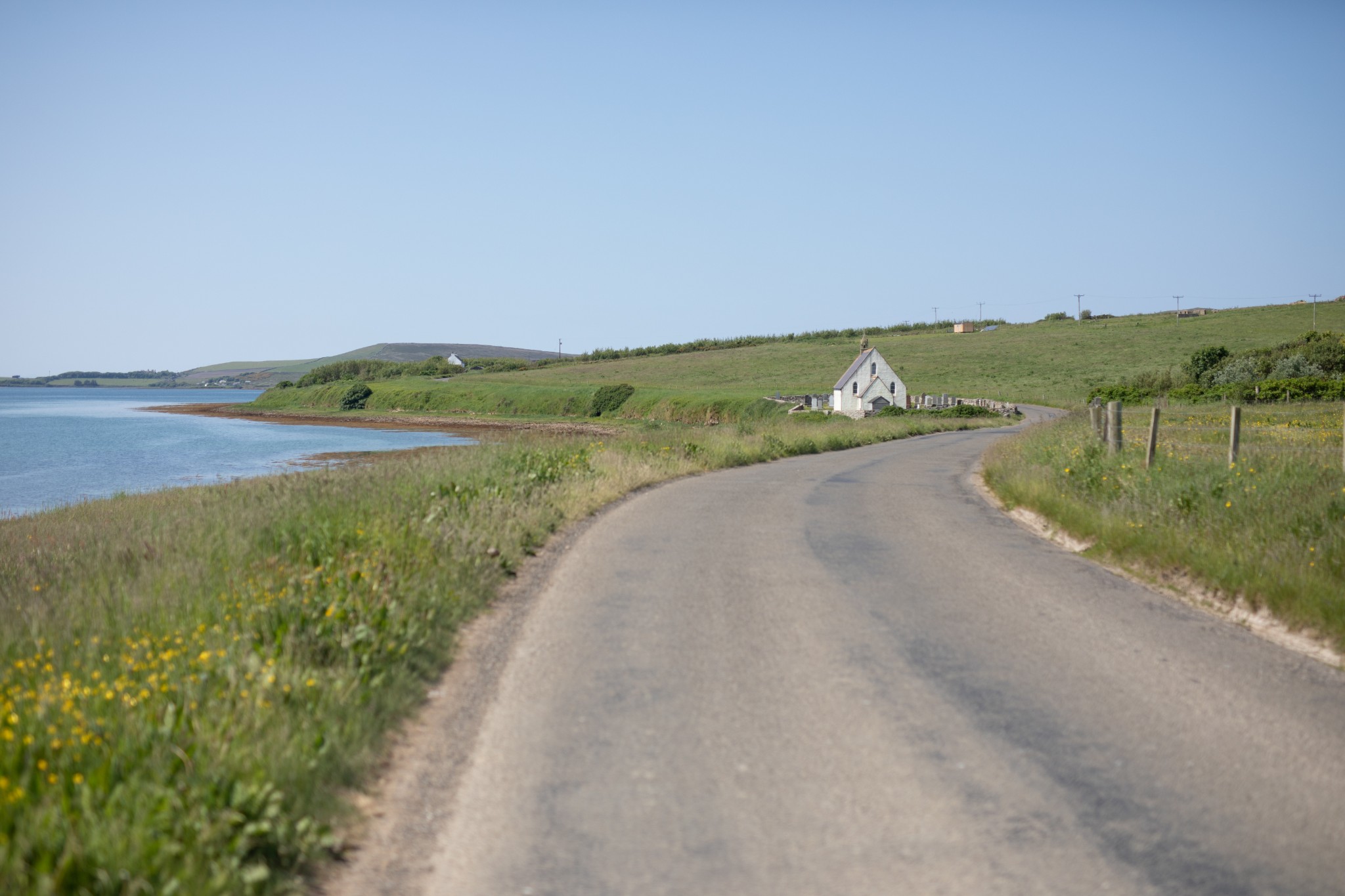
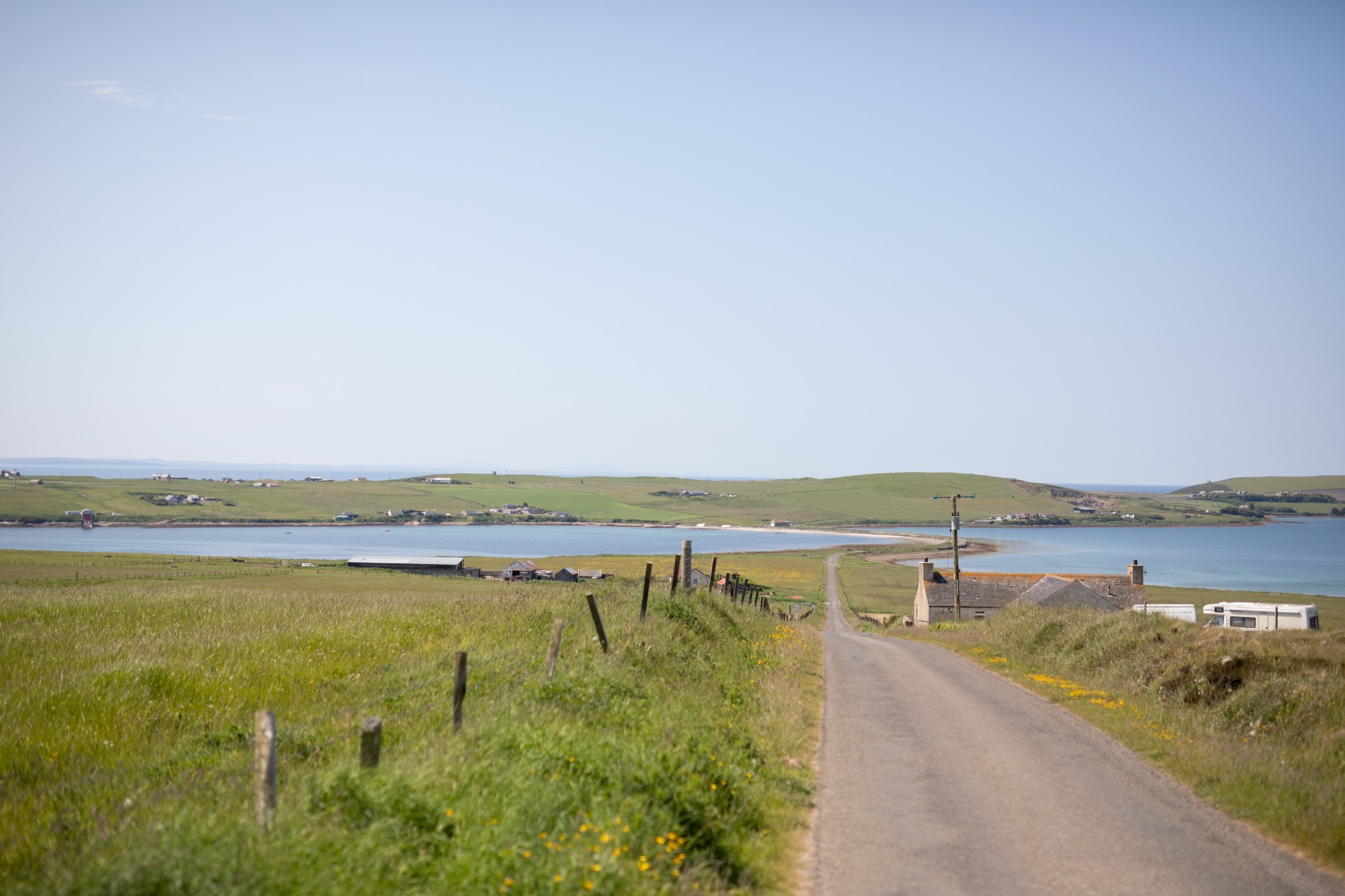
Continue around the head of the bay until you come to the causeway at the Ayre, a natural spit of land which links South Walls to the rest of Hoy.
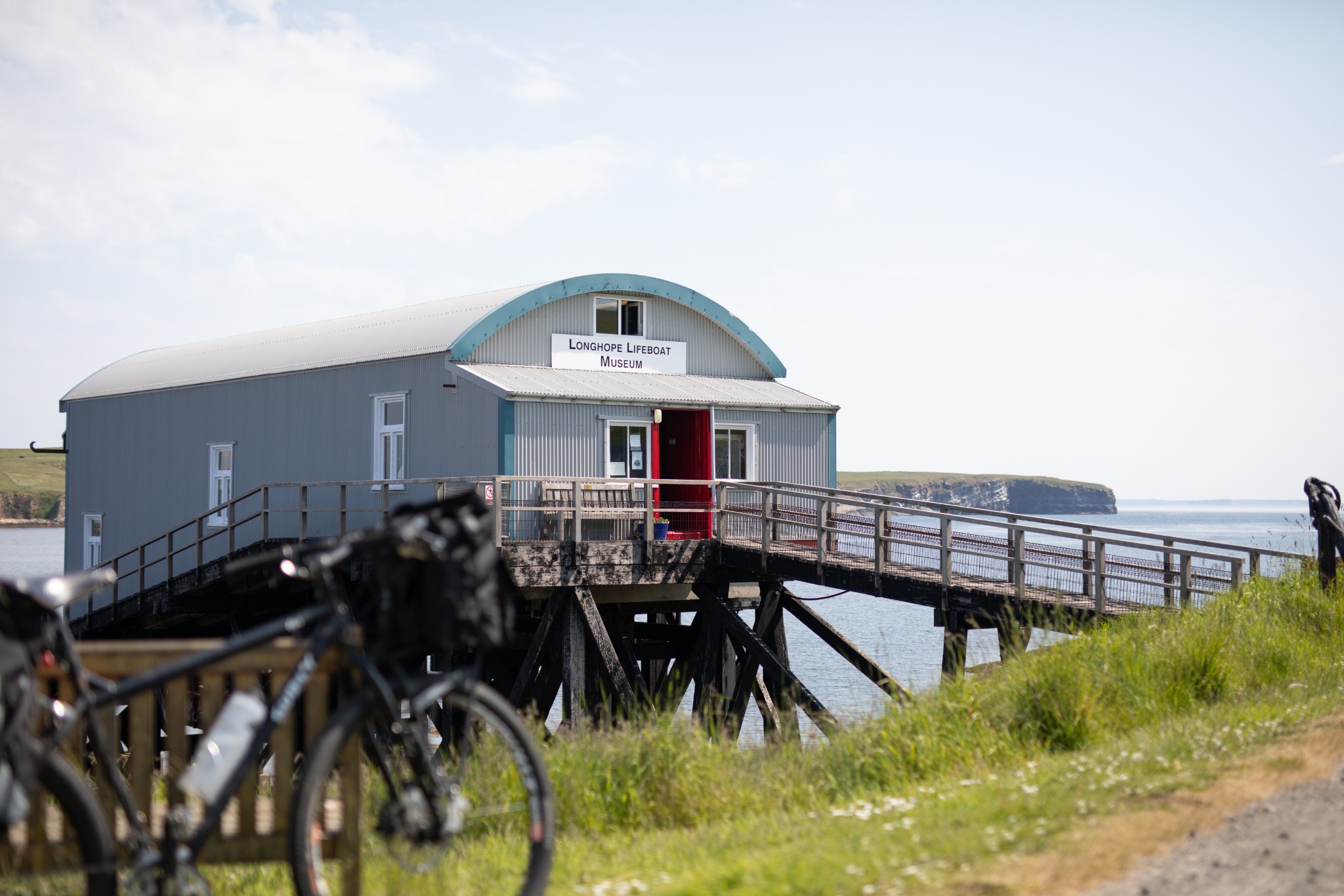
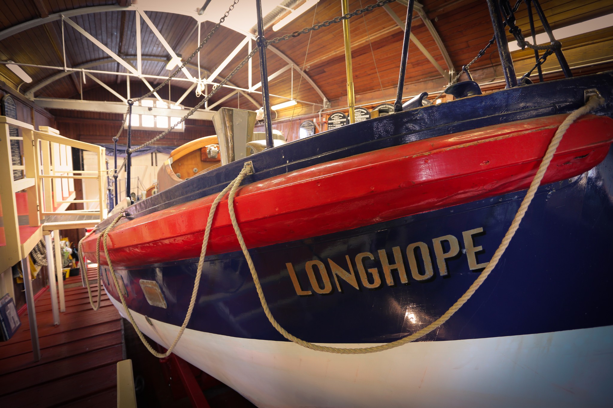
Before crossing the causeway take a sharp right to head around 400m to the Longhope Lifeboat Museum. It houses the former lifeboat Thomas McCunn and tells the story of the tragic loss of the Longhope lifeboat, with her eight crew, in 1969, as well as charting the community’s long history of coming to the aid of those in peril in the notorious waters that surround the island.
Return to the main road and turn right to cross the Ayre. At the fork in the road keep right to head straight up a steady slope for around 1km. Near the top take time to stop and look back across the Ayre and the headland of Brims to the Pentland Firth, with the Caithness coastline in the distance.
Carry on east for another 2km. Just after the Stromabank Hotel look for a road on the right heading down towards the coast. Just before the large house of Snelsetter leave the bike at the car park to walk the short distance to the coast.
From here there are fine views east towards Cantick Head and south over the Pentland Firth. If you have time then turn right to head a short 1km or so along the coast to Hill of White Hamars, a reserve cared for by the Scottish Wildlife Trust and a great place for spotting a profusion of wildflowers.
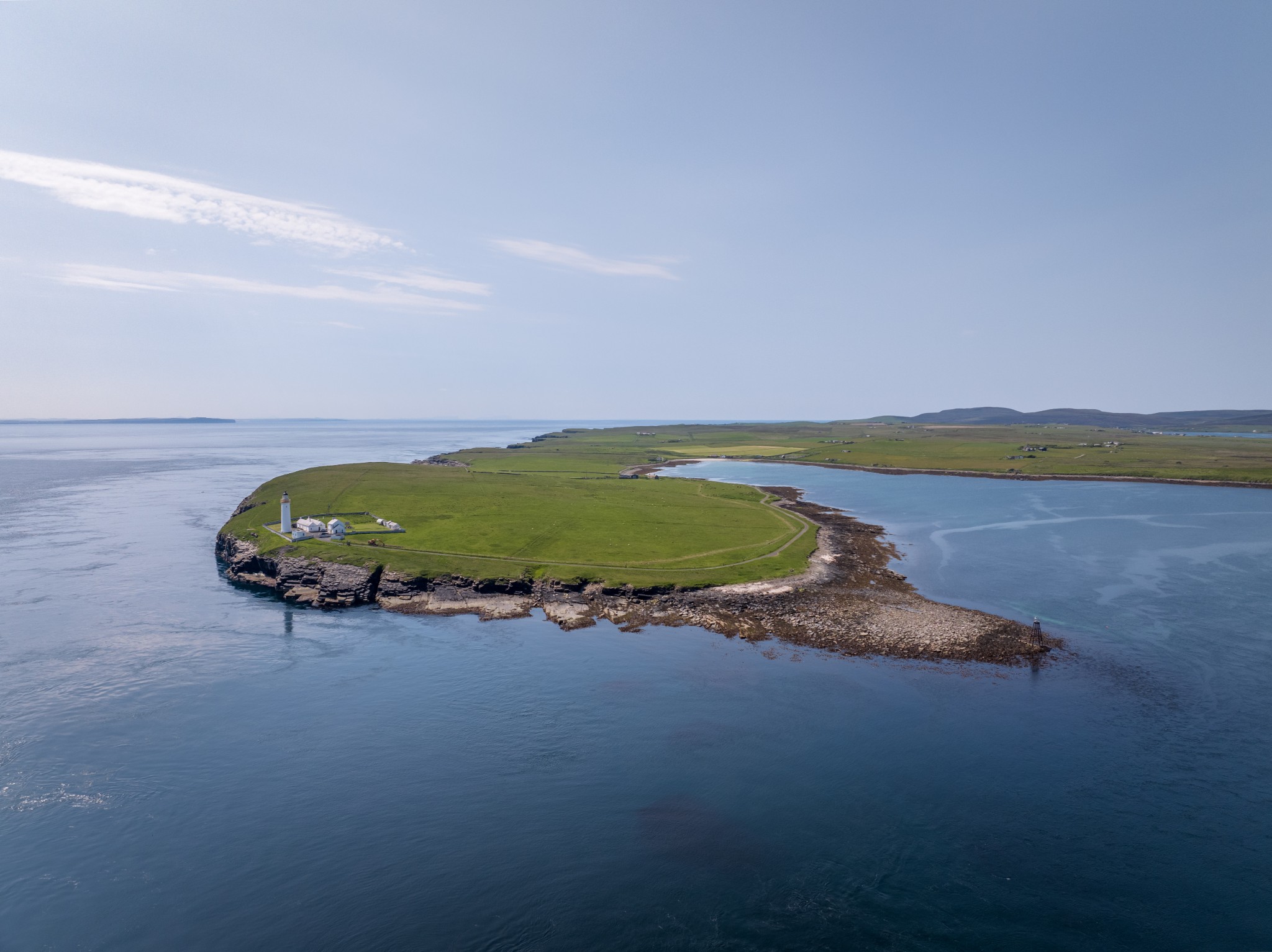
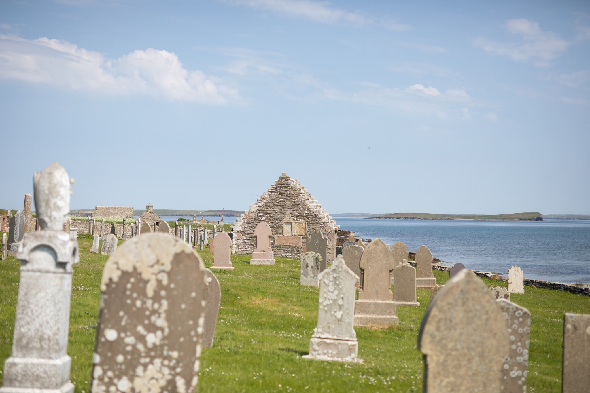
Returning to the bike, head back to the main road, turning right at the crossroads. After 1km you come to the cemetery at Osmondwall, with its poignant memorial to the lost lifeboat crew of 1969. Carry on along the road, which becomes a bit more track-like in the final 1.5km, to Cantick Head. It’s a fine spot to admire the strength of the tides, though on a summer’s day it’s hard to imagine the maelstrom of water that gathers here in a winter gale, or the bravery it takes to set out in that during the dead of night.
The lighthouse cottages are a family home and self-catering accommodation, so do respect the privacy of residents if you decide to walk a short way around the coast.
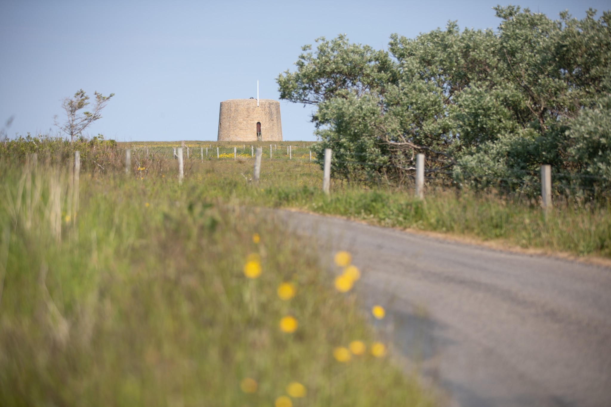
Return the way you came, turning right immediately after the cemetery. After a further 1.5km take the road on your right to head to the Hackness Martello Tower and Battery. Cared for by Historic Environment Scotland it is a fabulous example of a Martello Tower. It was built in the early 19th century, along with a sister tower just across the bay at Crockness, to protect gathering convoys in Longhope Bay from being attacked by American and French raiders.
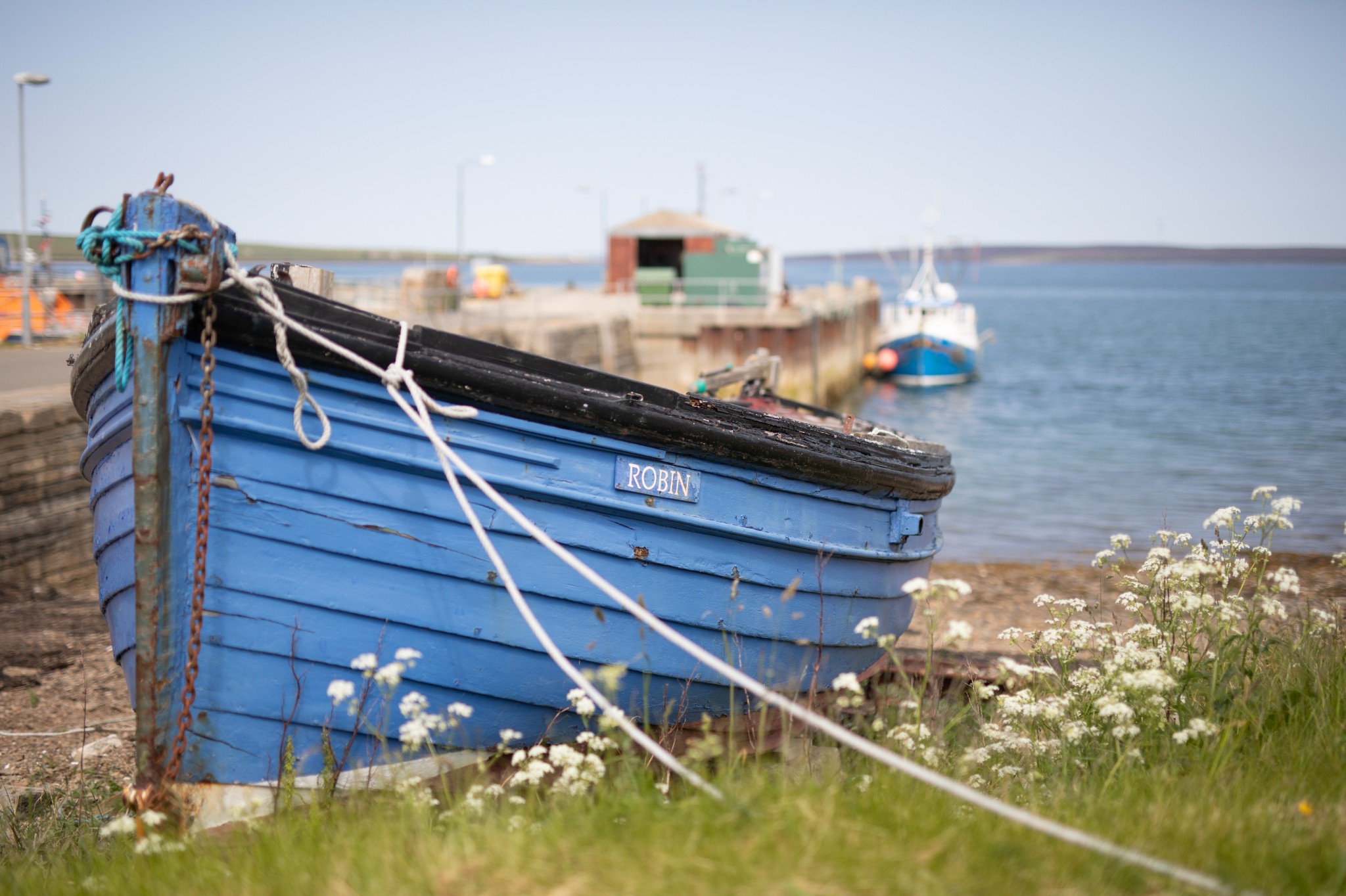
Head back to the main road and turn right before following the road left, along the coast for 3km, to reach the village of Longhope, which has a well-stocked shop and hotel and is home to the current Longhope Lifeboat.
Carry on through the village, then follow the road as it heads southeast for 2km to reach the Ayre. From here, return to Lyness by your outbound route. If you have time, you might want to check out our Brims to Longhope walking route.
If you're planning on staying in Hoy for longer, check out our other local cycling route, between Lyness and Rackwick, ending at Moaness.
- Plan your trip to Hoy
Daily ferries connect Hoy at Lyness with the Orkney mainland at Houton. View timetables and book online via the Orkney Ferries website. Booking in advance is highly recommended, especially during the summer months. Bikes can be carried for free.
Public toilets are available at the piers at Longhope, Lyness and Moaness.
Find out more about Hoy on the island's Explore page, or visit the official island website.
- Food & drink
Longhope is home to an excellent shop, JMF Groat & Sons, selling a wide range of goods, including local produce. The local pub, the Royal Hotel, is also found in the village and the Stromabank Hotel is in South Walls. Check opening times online before travelling.
At Lyness, the Scapa Flow Museum has a small cafe, and Emily's Tea Room is nearby too.