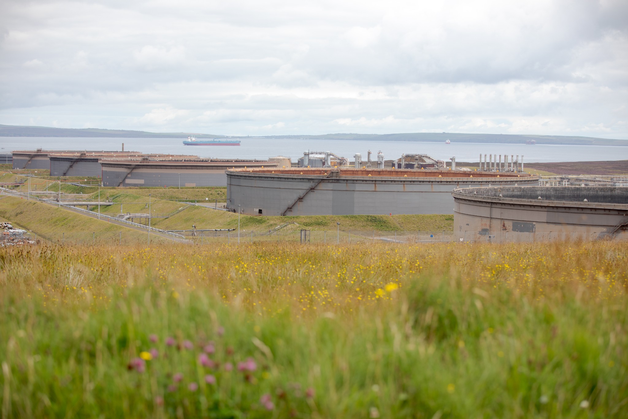
These days Flotta may be best known for its oil terminal, but there’s much more to this small island than hydrocarbons.
Nature, wartime history, and the story of a community that’s adapted to massive changes make this a great option for a day out.
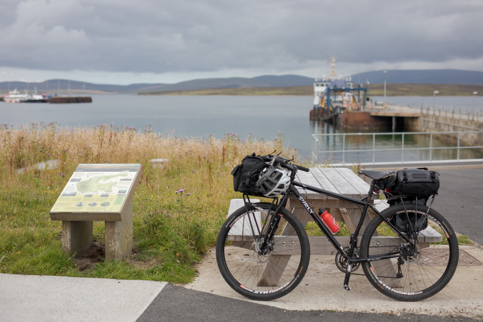
As you arrive by ferry, the Flotta Oil Terminal dominates the landscape. It’s hard to believe at this point but the terminal isn’t nearly as omnipresent as you might imagine throughout this compact island. It has however had a major impact on the lives of the community here – a story well-told in a display within the ferry waiting room.
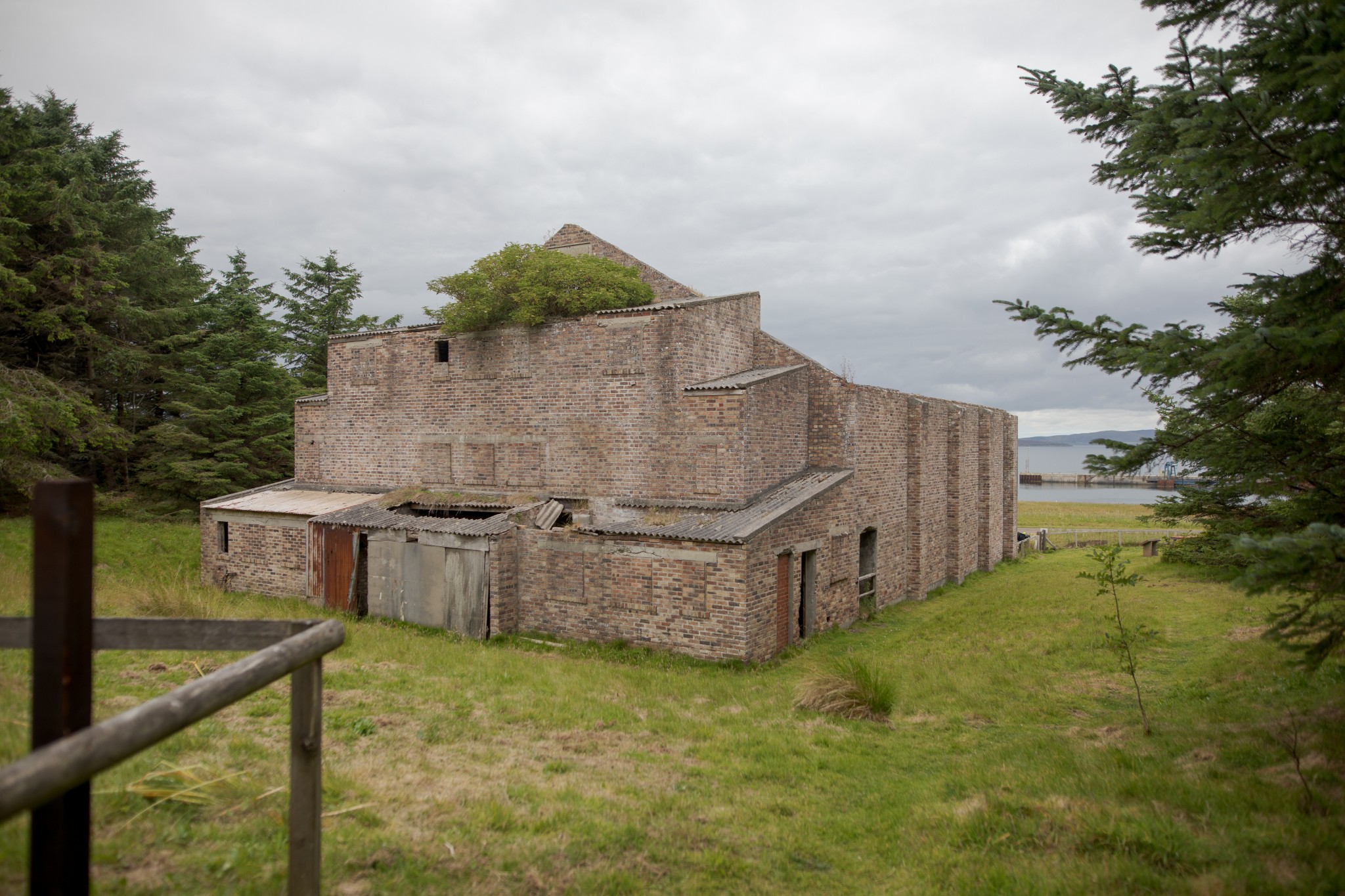
Leaving the pier to head gently uphill, look out for the remains of a brick building among trees on the right. This is the site of the Second World War cinema. Naval ratings planted the first of the spruce trees here, with an increasing number of more native species being added in recent years, making it a welcome haven for wildlife. Dozens of white rabbits – the offspring of wild and escaped pet animals – give a slightly surreal feel to the surroundings.
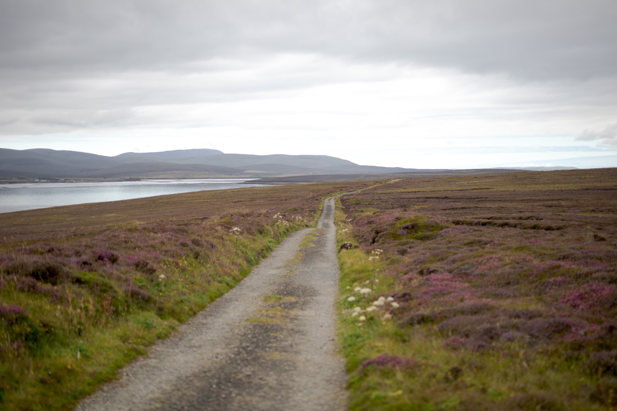
Return to the main road, turning right to head uphill. The road curves gently to the left passing above the Flotta terminal. From here you can look west to the larger island of Hoy, north to the Orkney Mainland and east to Burray and South Ronaldsay. You get the sense of a very different perspective of Orkney, very much at the heart of Scapa Flow, and an understanding of why this island was so important for the security of this naval anchorage in both World Wars.
You also appreciate how much work went into minimising the visual impact of the oil terminal when it was built in the 1970s. It huddles into the landscape below you and is surprisingly unobtrusive, even from the nearest of islands.
Follow the road as it descends and sweeps right above the bay of Pan Hope before gently rising again, shortly before passing the community centre and school. At the time of writing a community-run summer café operates here in the early afternoons from late June to mid-August most days of the week. Information can be hard to find online so the safest option is to take some food with you, but do make use of the café if you can. Flotta folk are particularly proud of their island and are always delighted to meet visitors (you’ll pass close to the community centre later in the route, so if you’ve not built an appetite yet, look for information on opening times in the ferry waiting room).
Around 700m beyond the community centre look for a sign on the left to the Flotta Heritage Centre, which is well worth a visit.
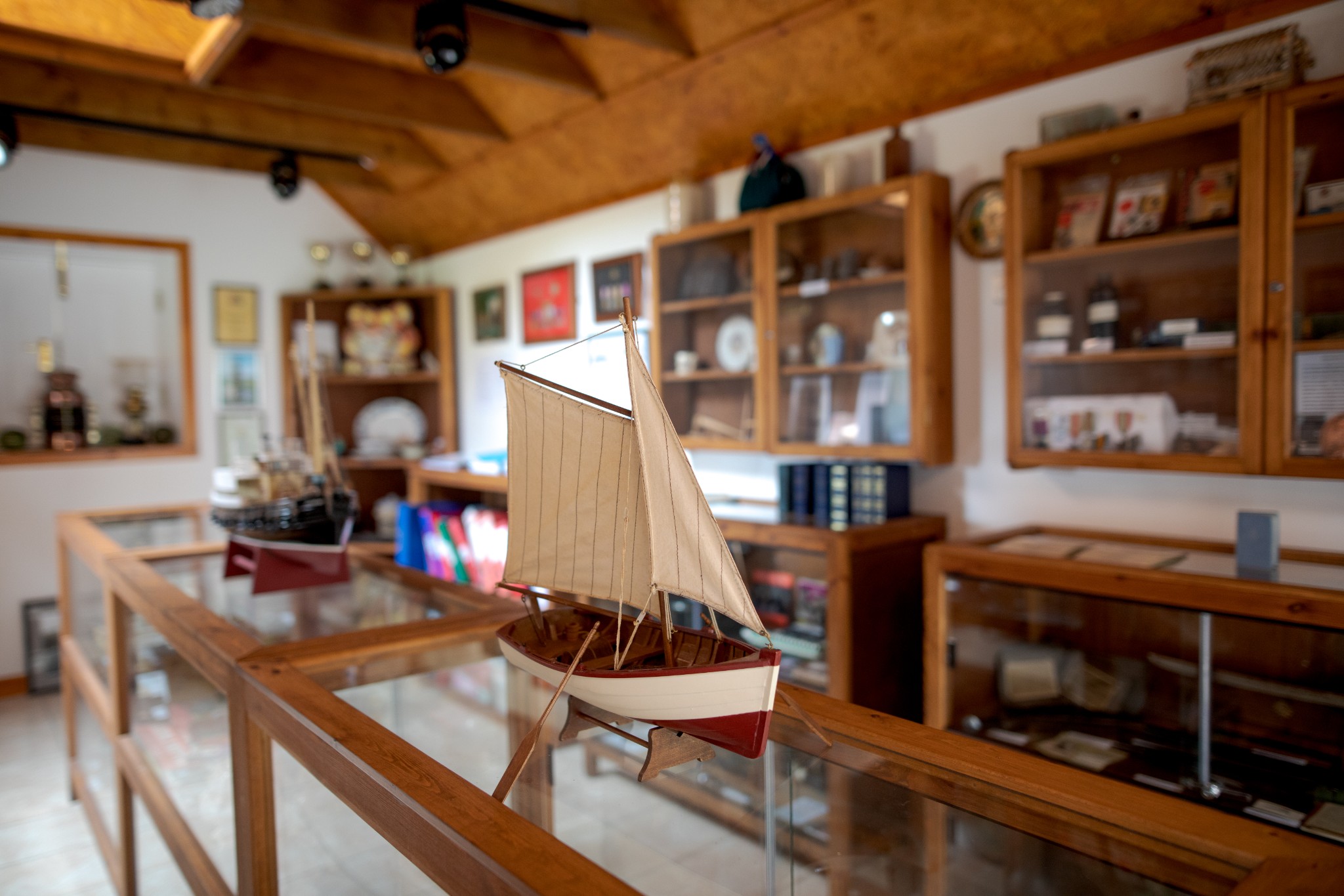
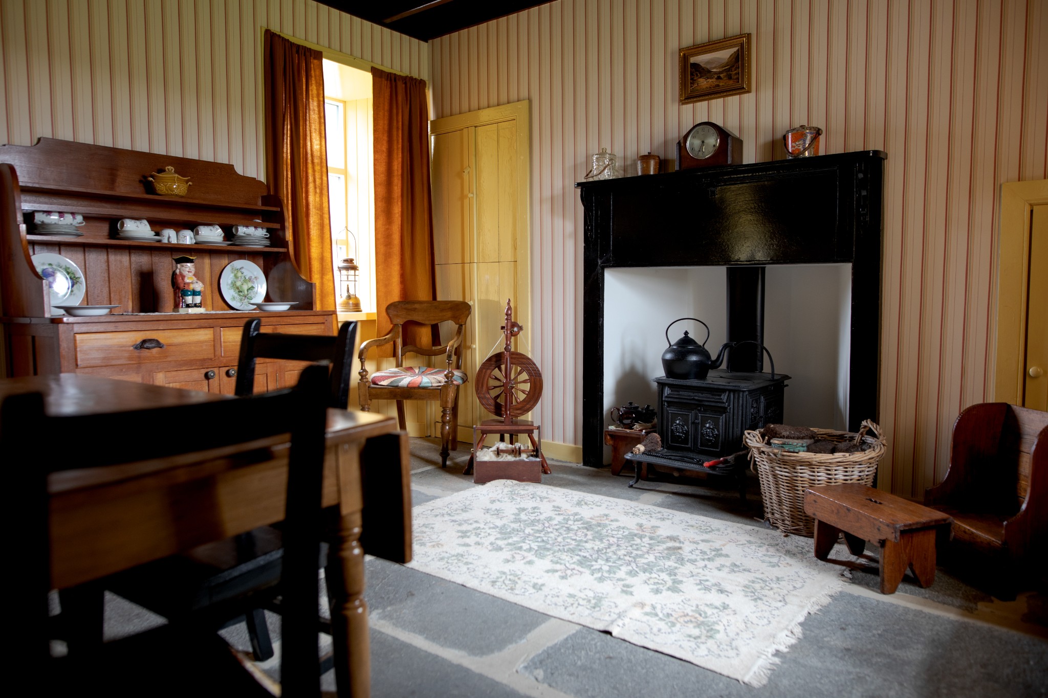
One end of the building has displays and artefacts relating to the changing face of island life, with a particular focus on how the community coped with playing host to thousands of troops during two World Wars and the massive impact of the arrival of the ‘oilmen’ in the 1970s. The other end gives an authentic sense of a traditional Orkney farmhouse interior – the type that began to disappear across Orkney around the same time as oil arrived.
Return to the main road, turning left to carry on eastwards for another 300m, then taking the first turning on the right to pick up a lovely single-track road which passes the Buchanan Battery. The guns and searchlights of this site were intended to work in tandem with those of the Balfour Battery across the waters of Hoxa Sound - just one part of a massive network of defences around the strategic anchorage of Scapa Flow, home to the British fleet in both World Wars. Do not enter any of Orkney’s wartime buildings as they are in an advanced stage of decay, with several having collapsed in recent years.
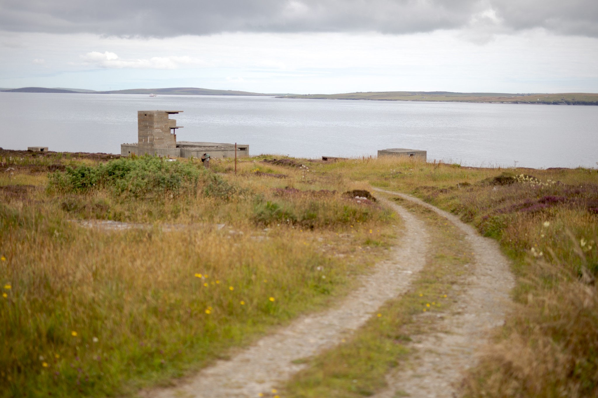
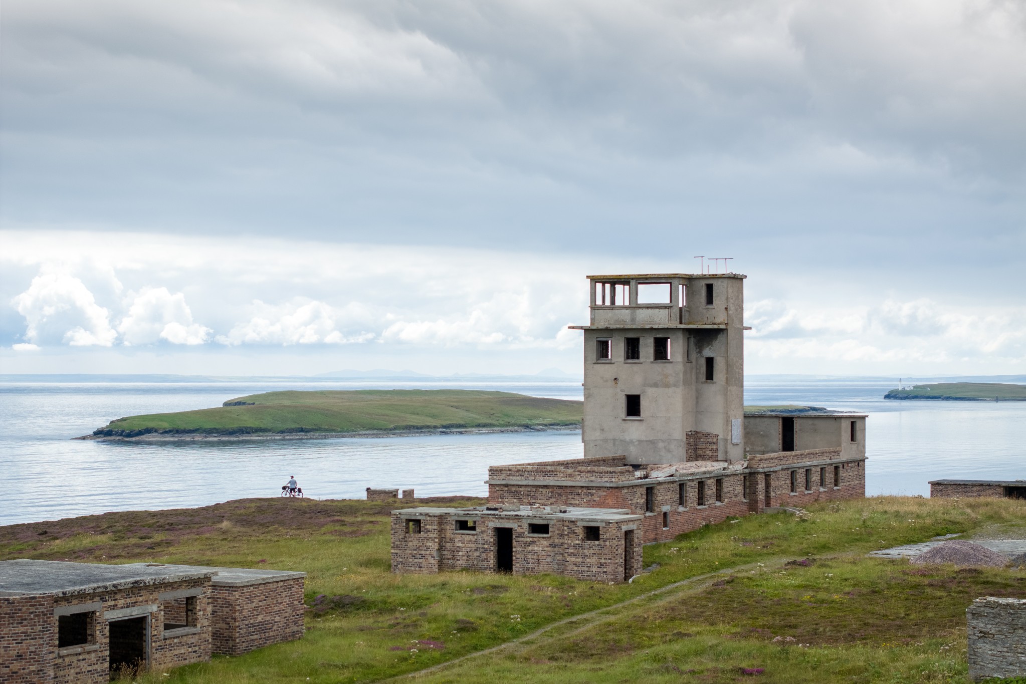
Carry on following the road, steeply uphill at first. After around 500m the tarmac road ends and becomes a gravel track. Those on skinny road tyres may decide to leave the bikes at this point and carry on by foot. Go right at the fork in the track to head the final 300m to reach the imposing Port War Signal Station at Stanger Head.
You can see why this site was chosen for such a critical piece of infrastructure for controlling movements in and out of Scapa Flow. The views across the Pentland Firth and to surrounding islands is quite superb. If time allows, follow the path behind the signal station that heads east past a disused quarry, turning right when you get to the main track to reach the headland itself, where the buildings of the Stanger Head Battery look out across the approaches to the Flow.
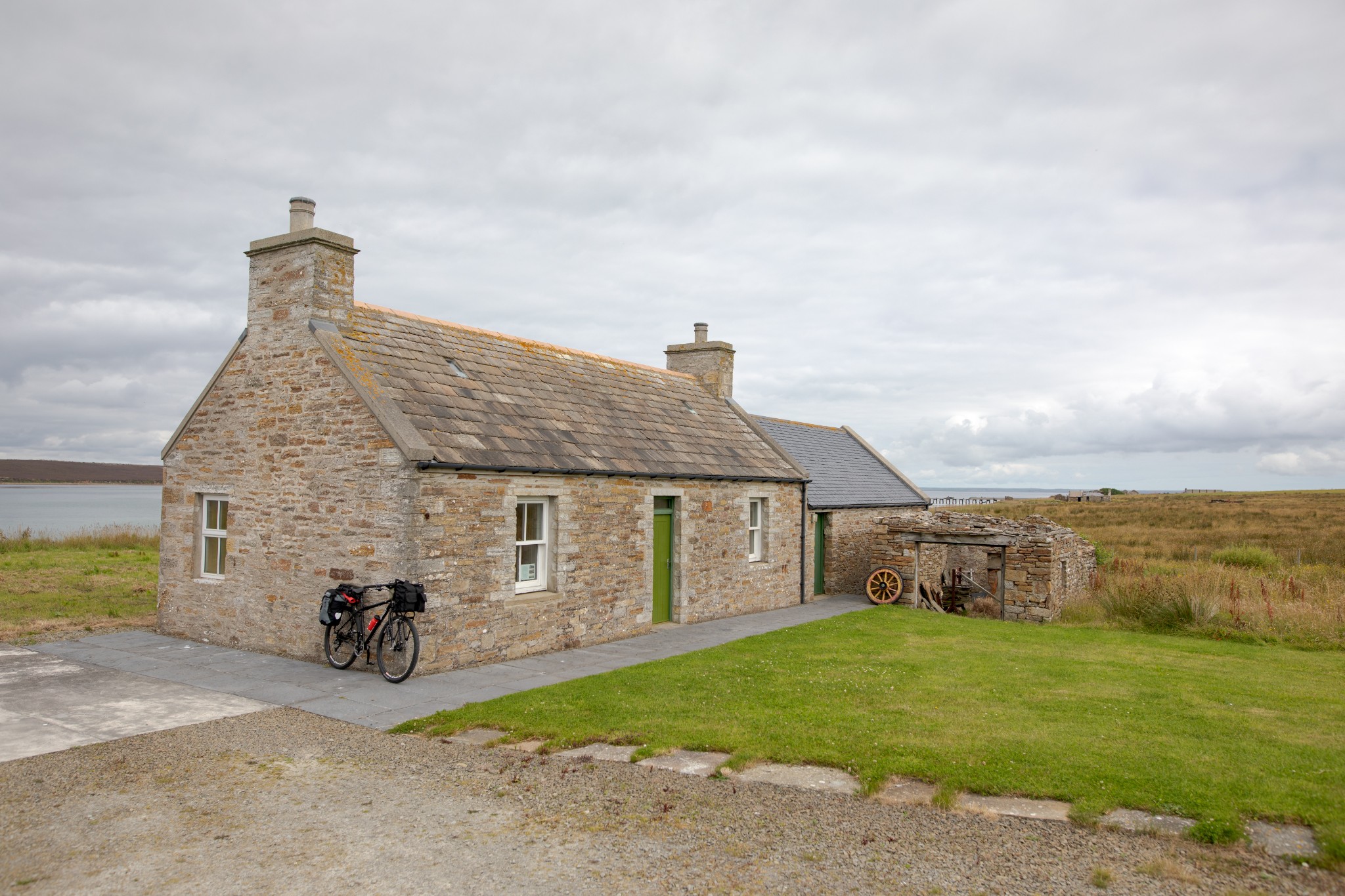
Return the way you came past the Buchanan Battery, turning left back onto the island’s main road. Just after the heritage centre take the first road on your left. It turns right then left before passing the island’s kirk and descending to Kirk Bay, where there’s a picnic bench beside a small derelict cottage.
Just after this the road takes a sharp right, then left, then right and left again. At the next bend there’s the option to carry straight ahead. Those on very narrow road tyres should turn right here to get back to the main road, just above the community centre, from where they can head straight back to the ferry.
Those on mountain bikes or with moderately wide road tyres should manage the coast route which lies ahead and can carry straight on at this point. Follow the road as it makes its way via a number of bends to head down towards the coast at Scat Wick.
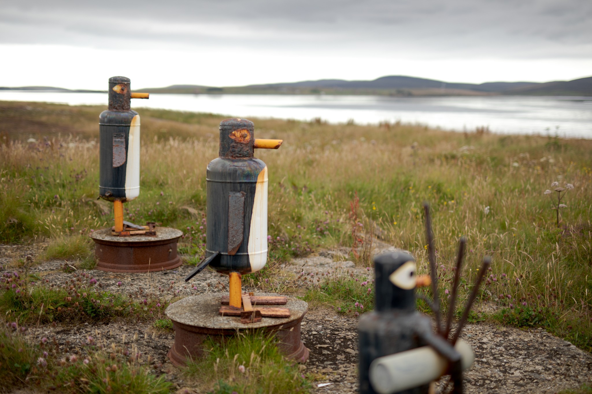
At this point turn right onto what becomes a reasonably smooth gravel track around the western coast of the island, looking across the waters to the great bay of Longhope in Hoy. On the way you’ll pass the now disused runway and terminal building of the Flotta airstrip, as well as some rather charming pieces of impromptu public art, utilising elements of the islands industrial and agricultural past.
Around a kilometre beyond the airstrip, you’ll arrive back at the ferry terminal and the start of your route. Our Flotta Wartime Trail walking route also covers most of the locations highlighted on this cycle.
- Plan your trip to Flotta
Daily ferries connect Flotta and the Orkney mainland at Houton. View timetables and book online via the Orkney Ferries website. Booking in advance is recommended, and bikes can be carried for free.
There is a public toilet at the pier.
Find out more about Flotta on the island's Explore page.
- Food & drink
The small Flotta shop is open between 10am and 11am on Mondays to Thursdays and Saturdays, and between 4.30pm and 5.30pm on Fridays. It's closed on Sundays. If needed outwith these times, contact details can be found in the nearby Flotta Heritage Centre. Visitors to the Heritage Centre are welcome to make a cup of tea or coffee too.
There is also the community-run summer cafe, as mentioned in the route guide above.