Taking in the lands and shorelines around the village of Pierowall in Westray, this walk encompasses a wealth of human history.
Of all the communities in Orkney, it’s Westray that has probably kept the strongest links with the sea.
You'll struggle to find a house in the island that doesn’t have a small boat nestled under a tarpaulin or glimpsed through the doors of a barn or outbuilding.
The coast is never far away on this walk, giving a sense of the vital role it plays in the day to day lives of islanders.

Distance
6km

Grade
Grading: 3

Duration
2hrs
Terrain
Minor tarmac roads. Farm track, sandy, relatively dry. Short section of beach and dunes.
Map description
OS Landranger 5; OS Explorer 464
 GPX file
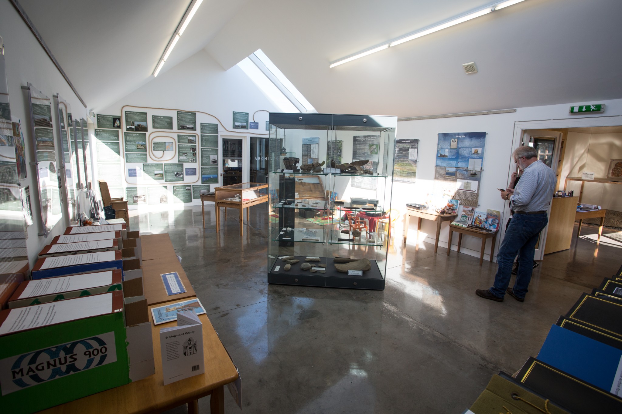
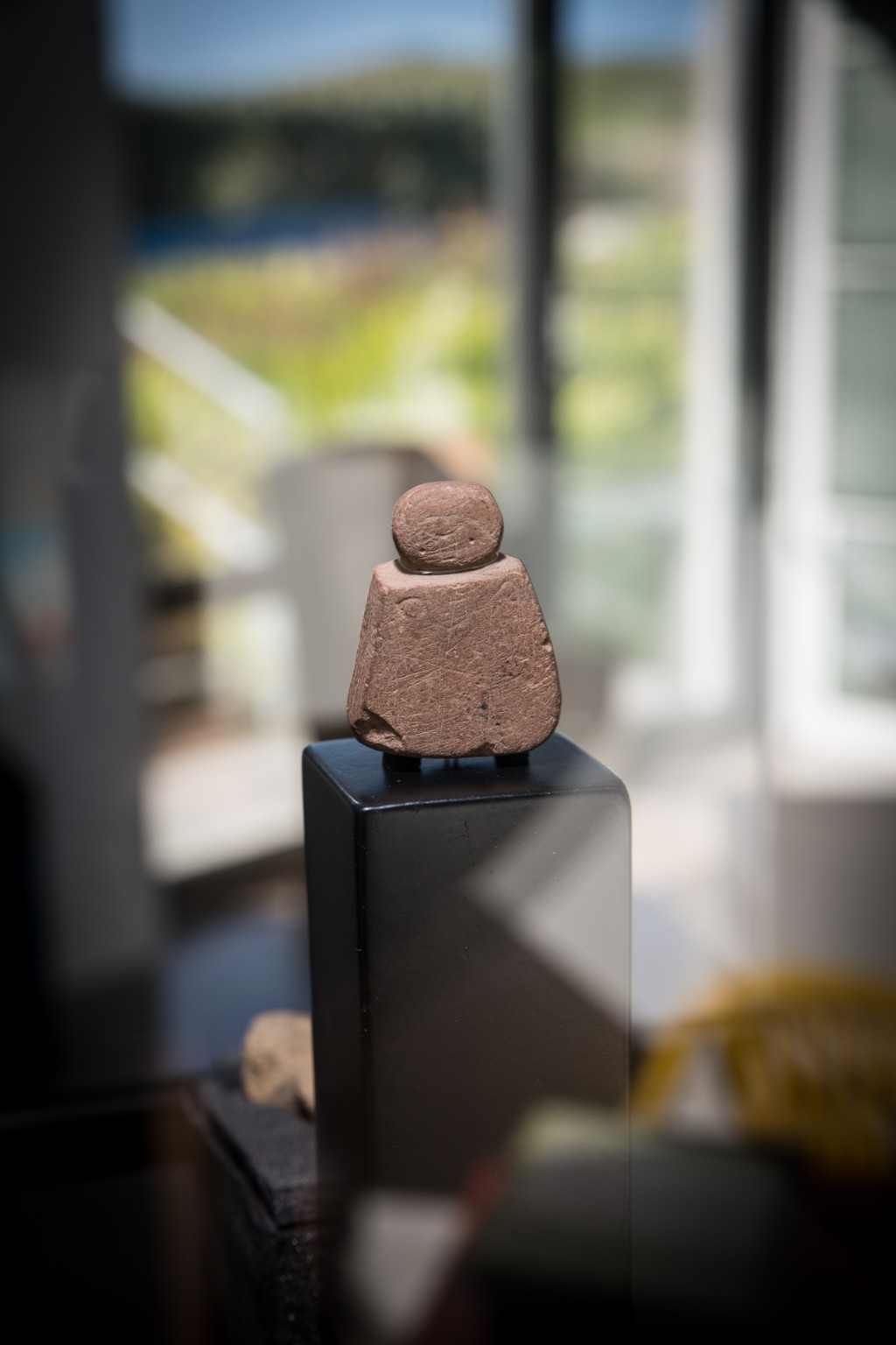
This route begins at the car park across the road from the Pierowall Hotel and the Westray Heritage Centre. The centre is the perfect place to start your walk. It’s home to the 5000-year-old Westray Wife - otherwise known as Orkney Venus. She’s a tiny stone figurine uncovered in 2009 during excavations at the Links of Noltland which you'll pass later in the walk. It was the first Neolithic carving of the human form to be found in Scotland. Look too for the Westray Graffiti Wall where generations of islanders carved or drew images of the island’s shipping, from sailing schooners to herring drifters. It’s an earthy reminder of this community’s affinity with the sea.
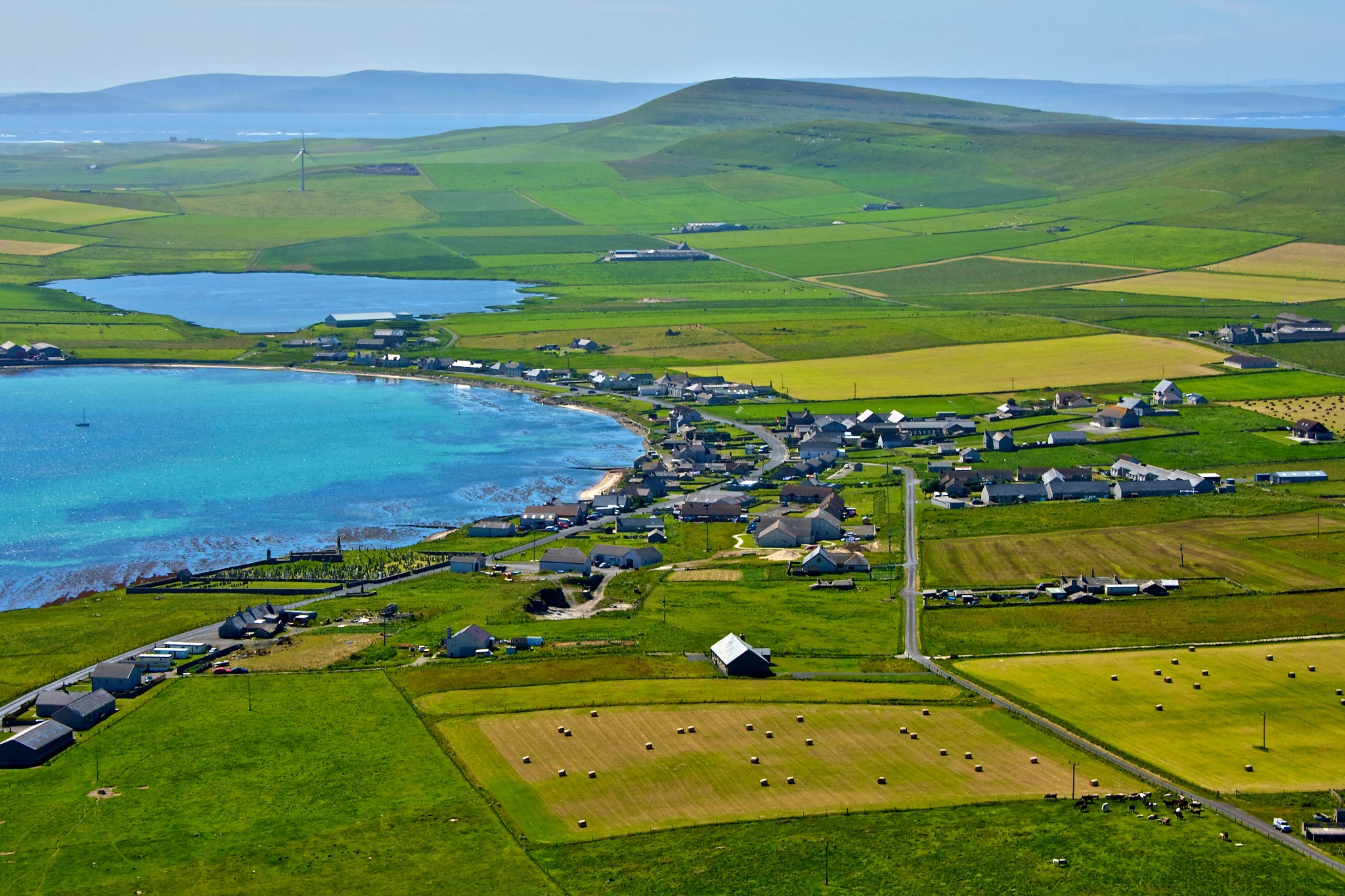
Leaving the centre, turn left to head north through the village. Pierowall is believed to be the Höfn, or haven, of the Norse Sagas. Its sandy bay is supremely sheltered and would have been ideal for drawing up a fleet of shallow-drafted longships.
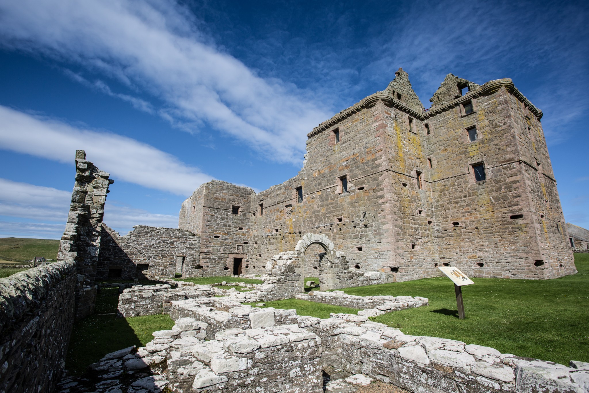
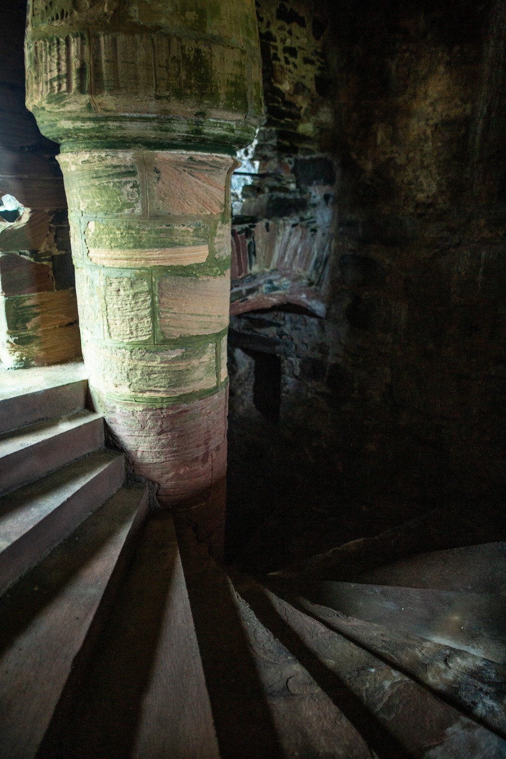
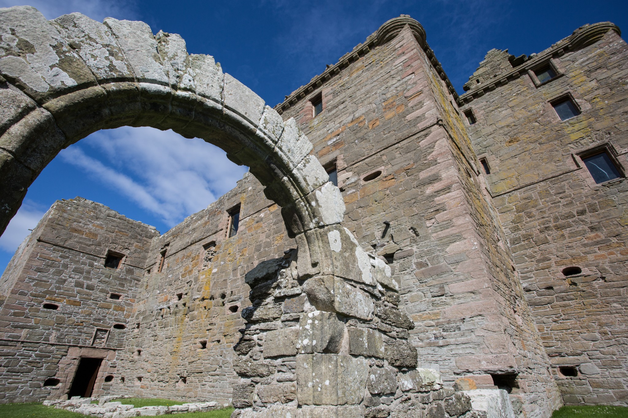
Turn left just before the school, onto the road signposted ‘Noltland Castle’. After rising up a shallow brae the road bends right then left before arriving at the castle (1.2km). Built during the 1560s, it was the island stronghold of Gilbert Balfour, a somewhat colourful mercenary, he was implicated in various plots and is thought to have had a hand in the murder of Mary Queen of Scots’ second husband, Lord Darnley. The castle features an impressive spiral staircase, a huge barrel-vaulted hall and no less than 71 gun-loops.
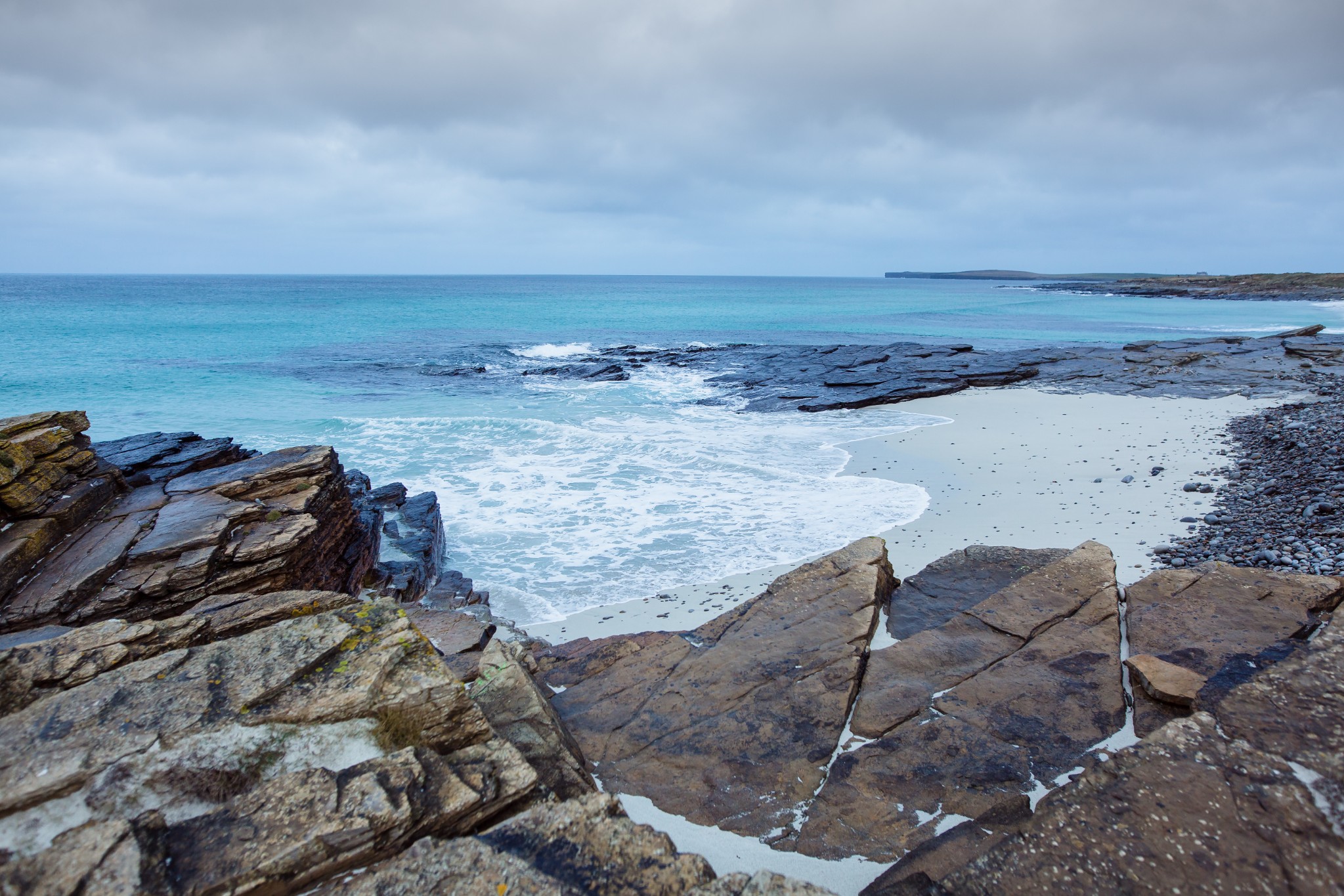
Carry on west from the castle for around 500m before turning right onto a sandy farm track heading towards the coast to arrive at Grobust beach (2.4km). This is one of Orkney’s finest beaches, with turquoise waters and rocky outcrops making it a picturesque spot.
Wander up onto the sand dunes behind the beach. This is the Links of Noltland, where the Westray Wife was discovered. A significant agricultural settlement existed here from around 3000BC right through till around 800BC. There’s not much to see outwith any excavation work, but you get a real sense of how this settlement is under severe threat from a collapsing network of sand dunes and rising sea levels.
Follow the bay to its eastern side before heading up to walk along pleasant, intertwining tracks over the sandy links. Networks of low stone walls, or steeths, can be seen all along the coastline here. These were used for drying tangles, or kelp stalks, which were harvested from the shore after winter storms and sent south to be used in the alginate industry up until the early 1990s.
Looking back to the west you should now see Noup Head and its lighthouse, while to the north lies Bow Head. These shorelines have been the site of countless shipwrecks over the centuries. A straggling ship of the defeated Spanish Armada went down, possibly off North Ronaldsay, in 1588. Two of the ship’s lifeboats were launched. One was lost in strong tides, but the other succeeded in putting ashore in Westray. The men settled in the island and for generations were known simply as ‘The Dons’. A glimpse of this Spanish ancestry can still be seen in the features of many islanders.
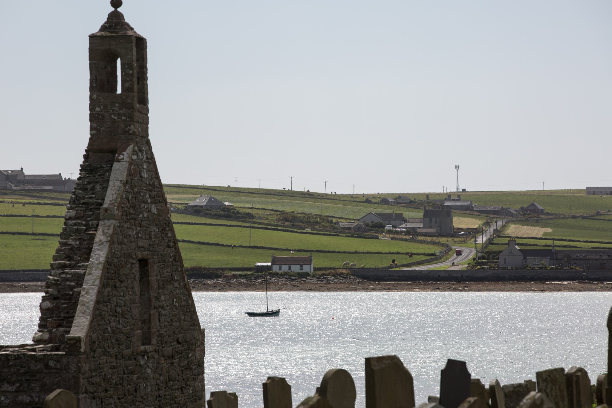
Around 900m east of Grobust beach, join the Rackwick Road (4.2km), heading right to travel south, back towards the village. Turn right at the junction and on your left-hand side is Sand o'Gill, a shallow inlet of beautiful sand. During the summer months you’ll see a small flotilla of Westray skiffs moored in the bay. As you return to the village watch for the Lady Kirk on your left hand side. This 13th century church was altered in the 17th century.
Arriving back at the start of your walk you’ll probably have built up an appetite. Thankfully, in an island so deeply connected with its surrounding seas, the Pierowall Hotel does a very fine fish supper.
Visit the Scottish Outdoor Access Code website for more information and advice on how to enjoy the outdoors responsibly.
Featured information
- Places of interest
Westray is a vibrant island with a forward-thinking community. There are a number of fine coastal walks to enjoy, with the Noup Head Circular and the Westray West Coast Walk being two of the finest.
If you’re visiting the island in late spring or early summer make sure and pay an evening visit to the Castle of Burrian for Orkney’s finest puffin-viewing experience.
The Westray Heritage Centre is an excellent way to find out more about the island's history. Two galleries – the Westray Art Gallery and the Wheeling Steen Gallery – also offer the chance to visit local artists and see some of their work.
There's a nine-hole golf course in Westray that is open to visitors.
- Food & drink
There are two well-stocked local shops offering a wide selection of food and drink, W. I. Rendall's and J. C. Tulloch's in Pierowall. W. I. Rendall's also has the Groatiebuckies Café, while the Wheeling Steen Gallery, a short drive north of the village, does teas, coffees and snacks.
JACKS Chippy at the southern end of Pierowall does excellent takeaways, as well as supplying the freshest of fish for those who’re self-catering. The Pierowall Hotel also offers meals and refreshments. Saintear is a bistro just outside the village offering meals and light bites, as well as regular specials. Richan's Retreat, close to Rapness Pier, also offers teas and coffees. The best advice is to check all opening times before you travel to Westray.
Westray produces some of Orkney’s finest local food. Fish, shellfish, bakery products and preserves are exported to the Orkney mainland and further afield from here. You'll find products from Pierowall Fish and the Westray Bakehouse in local shops.
- Transport & services
Daily ferries keep the island connected with Kirkwall. View timetables on the Orkney Ferries website. Loganair operates inter-island flights from Kirkwall Airport daily too. The route can sometimes stop off in Papa Westray, giving you the chance to experience the world's shortest scheduled flight. Visit the Loganair website for more information.
There is a local bus service which meets every ferry arrival and operates on request throughout the island, and Rendall's Shop offers a taxi service. If you're cycling, check out our Westray Castle & Sand and Westray Explorer routes. Petrol is available in the village too.
Public toilets are available at Rapness Ferry Terminal, in Pierowall village and at Gill Pier.