A short but rewarding walk with fabulous views, taking in one of Orkney’s most impressive wartime sites.
As the main base for the British fleet, Orkney played a vital role in two world wars.
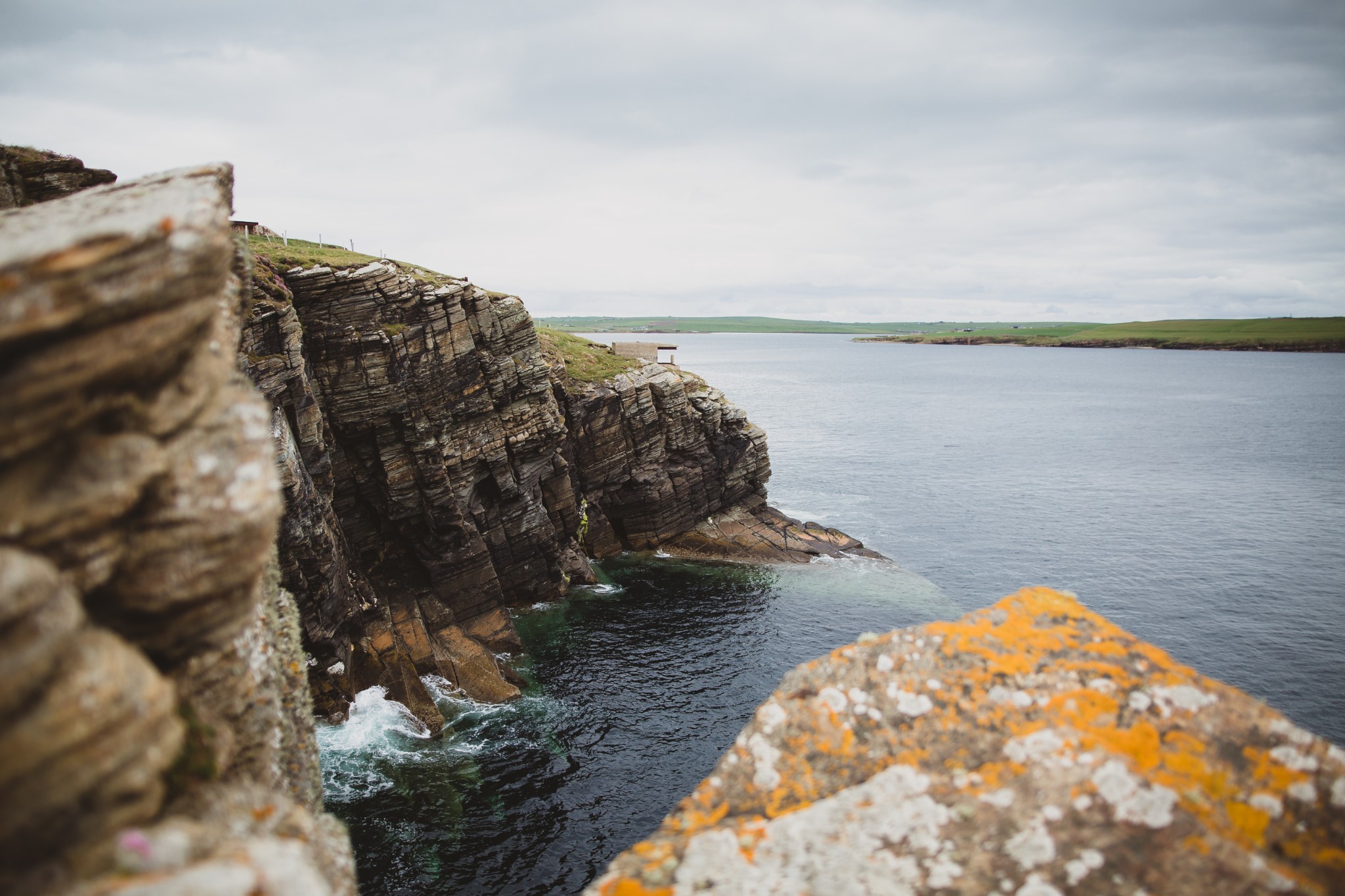
Defensive positions were located to give the best possible outlook over the approaches to Scapa Flow.
It means these sites are uniquely positioned, not only for taking in the fabulous views of landscape and seascape, but also for viewing wildlife, or simply watching the coming and going of the shipping ,large and small, which still passes through these waters.
Distance
2.7km
Grade
Grading: 2
Duration
1hr 45mins
Terrain
Agricultural track, coastal path very close to cliff edge. Wet and muddy at times in some sections.
Map description
OS Explorer 462 or 461; OS Landranger 7
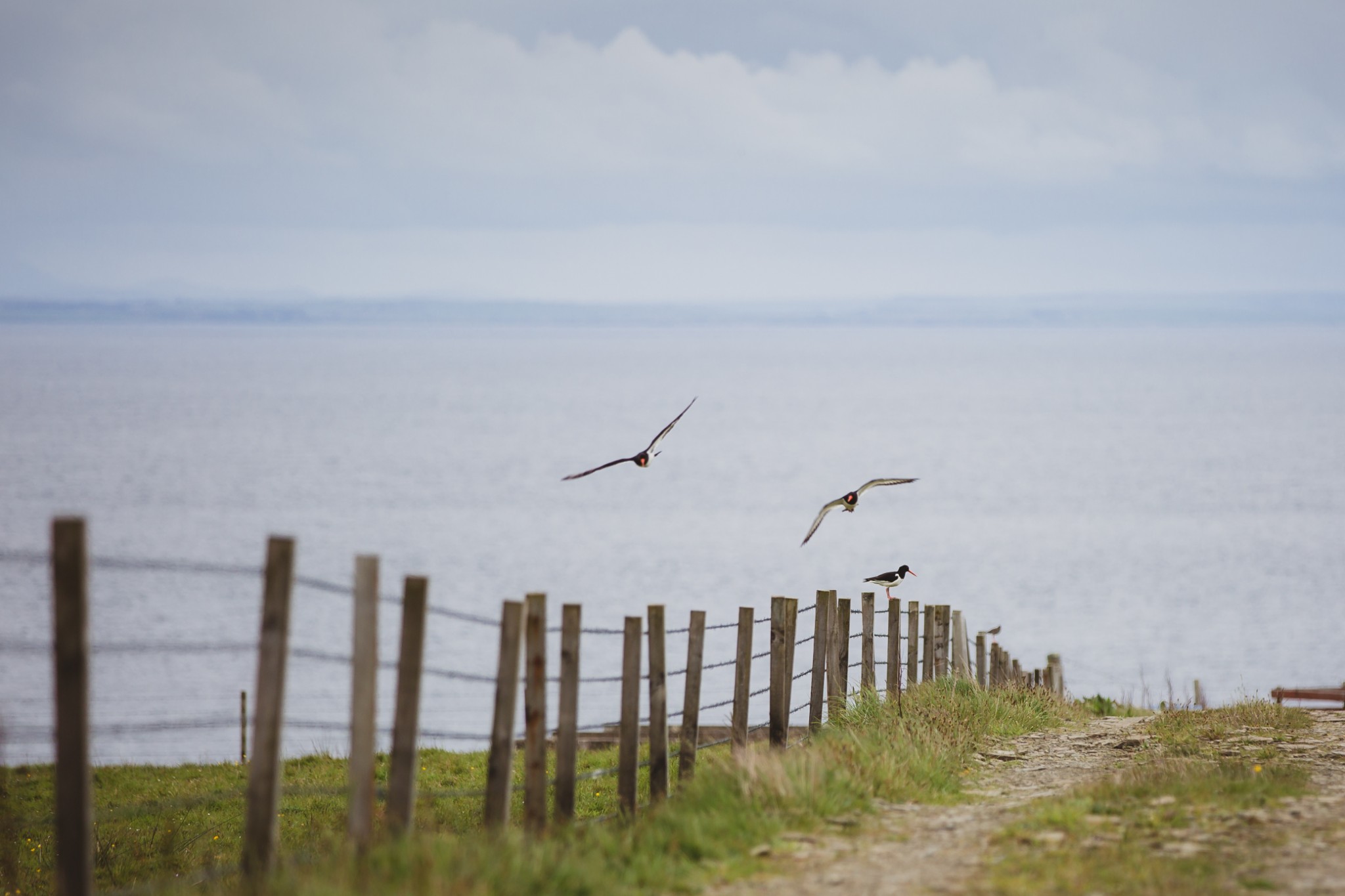
The route begins at the small car park where the public road ends on the Hoxa peninsula, to the west of the village of St Margaret’s Hope. The car park itself sits on the edge of a small area of heathery bog – keep an eye open for short-eared owl and curlew.
Set off along the vehicle track which leads southwest from the car park. Passing the house of The Bu on your right, keep straight on through a set of metal gates to continue gently uphill. After a further 400m or so you reach the highest point of the walk and the views open up; the Pentland Firth to the southwest, with Caithness in the distance; to the west is the island of Flotta, with Hoy and Longhope behind; north lies the vast anchorage of Scapa Flow.
You can see why this stretch of water was so strategically important during both world wars; sheltered waters with easy access to the North Atlantic and North Sea.
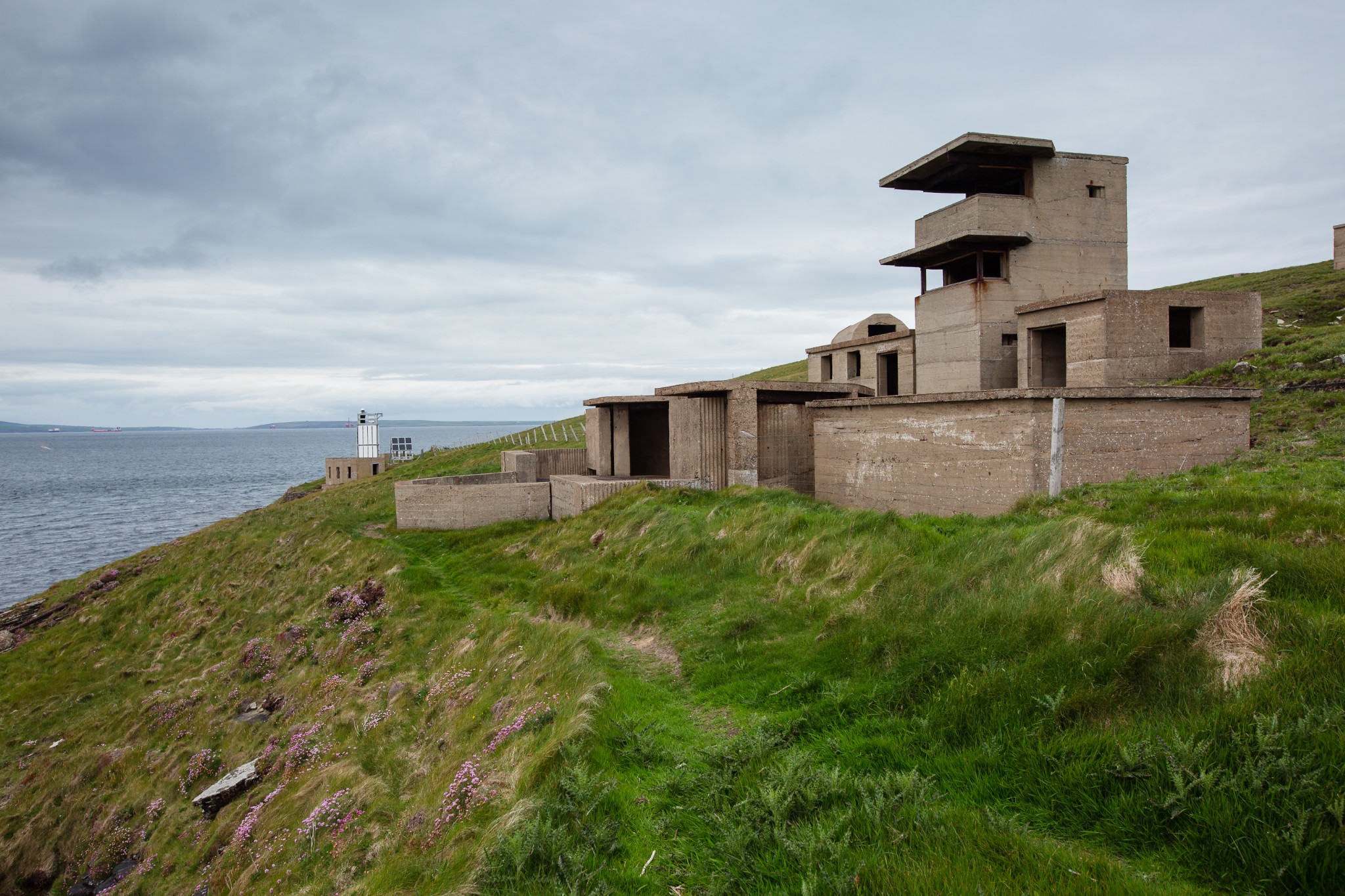
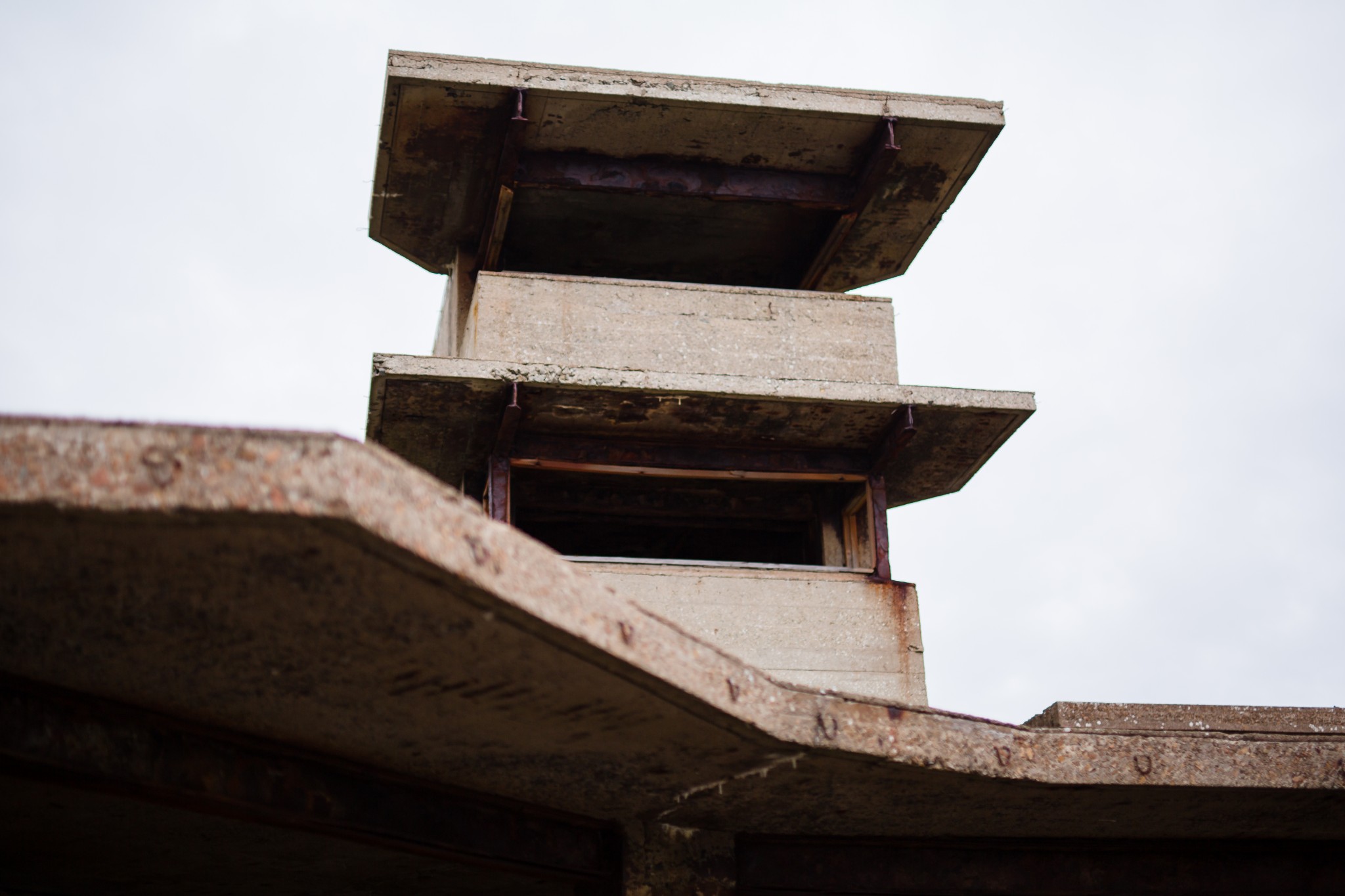
Pass through a wooden kissing gate (0.74km) before turning left to head roughly south along the stone track for approximately 200m. The buildings here are the remains of the Hoxa Battery – one of two gun batteries to be built on this headland during WW2.
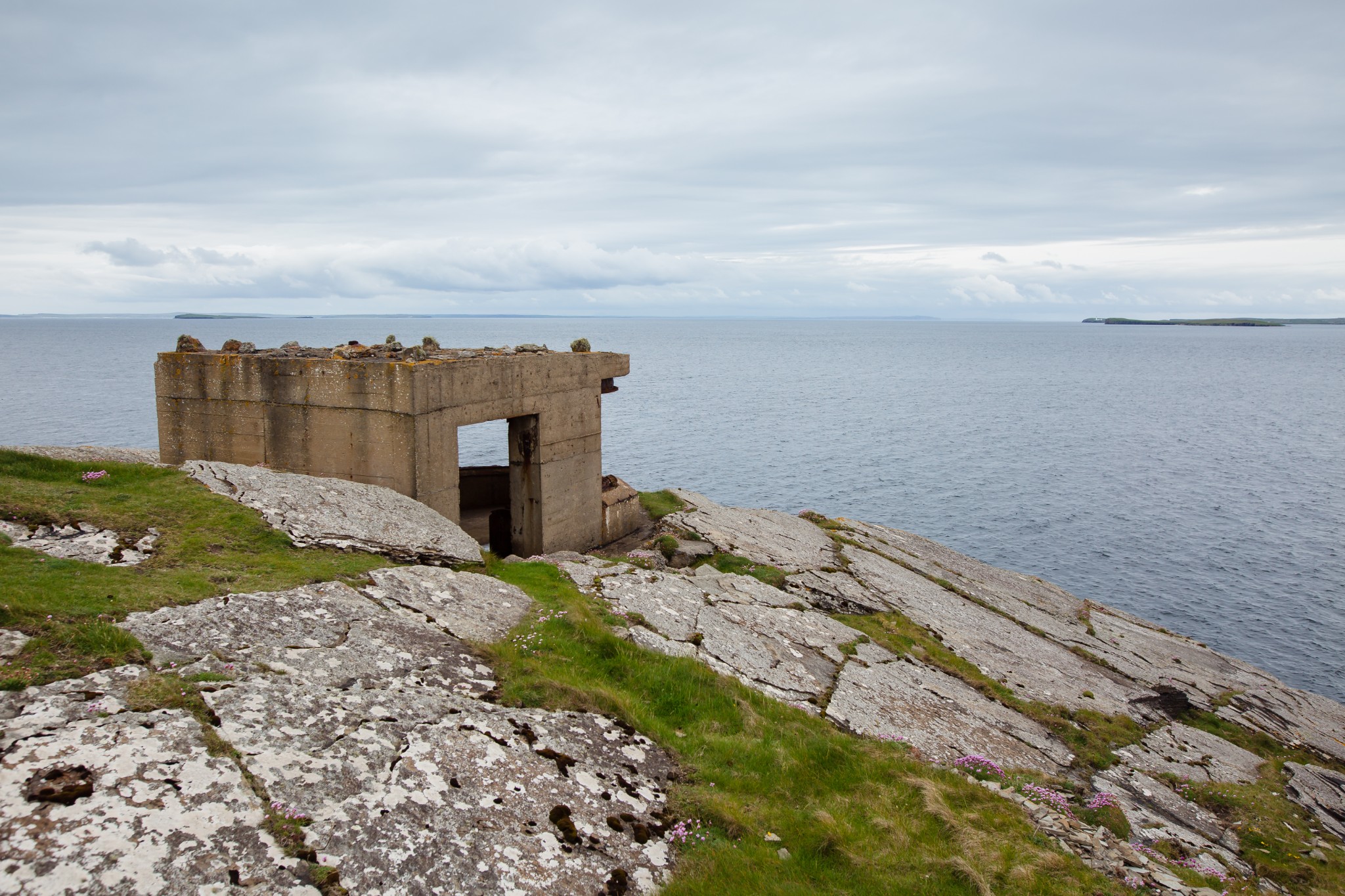
The Hoxa Battery was constructed on the site of an earlier WW1 emplacement, and is in considerably poorer condition than the Balfour Battery, which is sited a little further north (do not enter any of the buildings on this walk, as they are extremely unsafe, indeed some have recently collapsed).
Look for the kissing gate which leads to the seaward side of the fence before turning right to head north along the coastal path, indented with numerous geos. Stick to the obvious path and keep well back from the cliff edge, as out-sloping layers of sedimentary rock can be deceptively dangerous. Sea pinks and bird’s-foot trefoil line the route in early summer.
To your right, various earthworks and remains of the significant wartime camp can be seen, while in the waters to your left seals can often be spotted in the deep, clear waters close inshore.
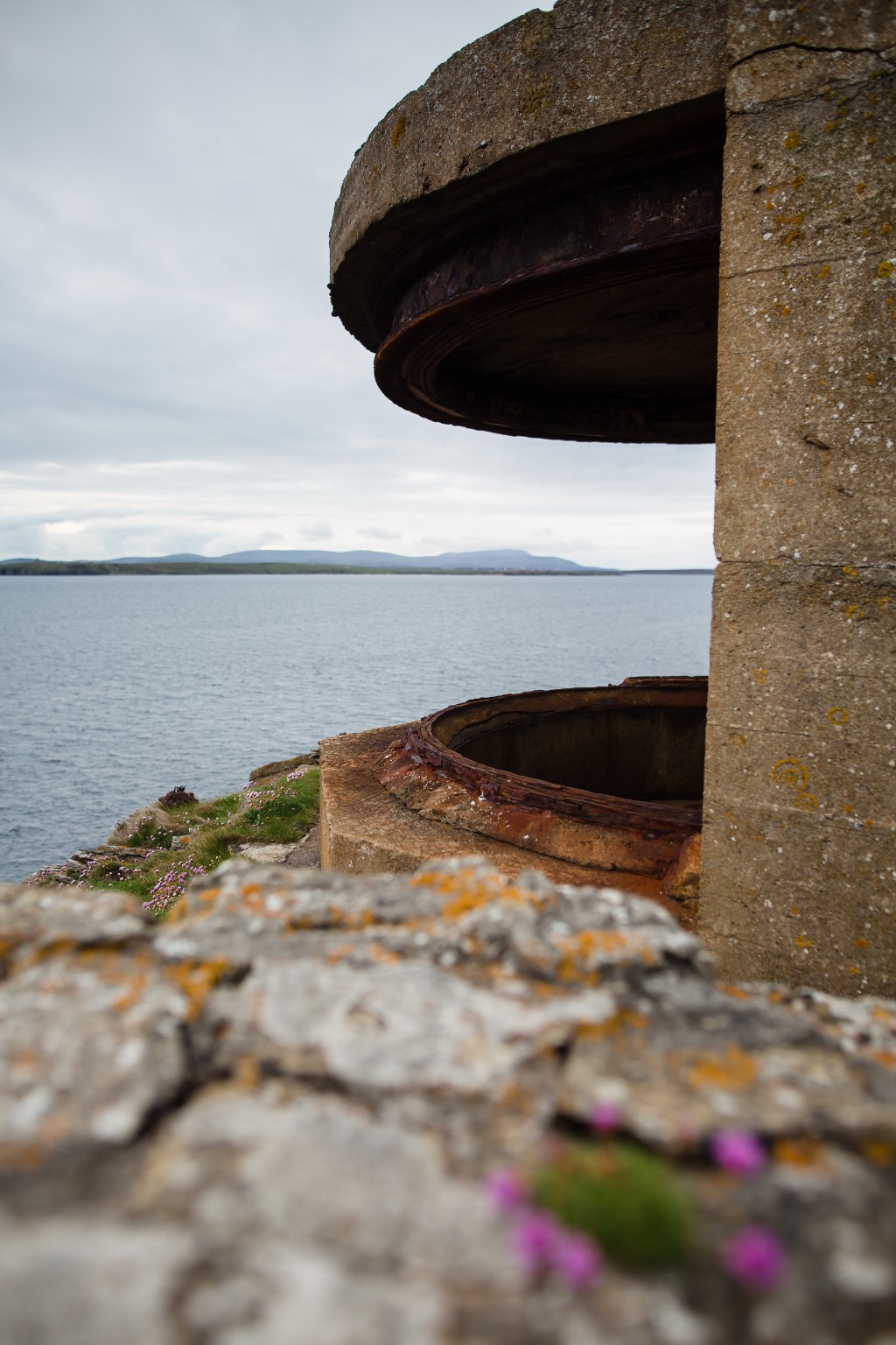
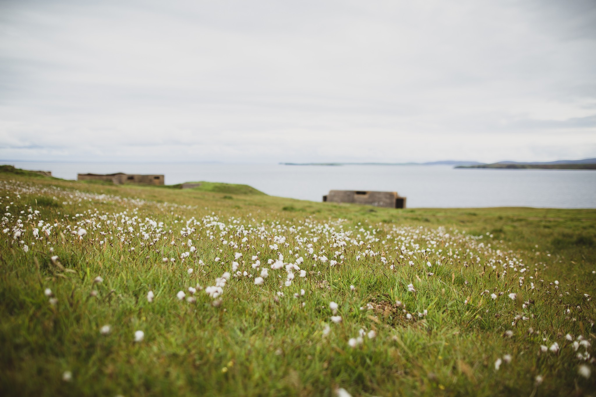
Around 800m north of the Hoxa Battery you come to the impressive remains of the Balfour Battery (1.8km). The site is dominated by two twin six-pounder gun emplacements. The gun batteries were just part of an impressive array of defences covering this entrance to the naval anchorage. Boom nets, searchlights, and remotely-operated underwater mines were among the technologies deployed to protect the fleet.
The path skirts the low concrete walls which mark the front edge of the gun emplacements. Far enough from the dangerously crumbling buildings themselves, this makes a fine rough bench from which to admire the view.
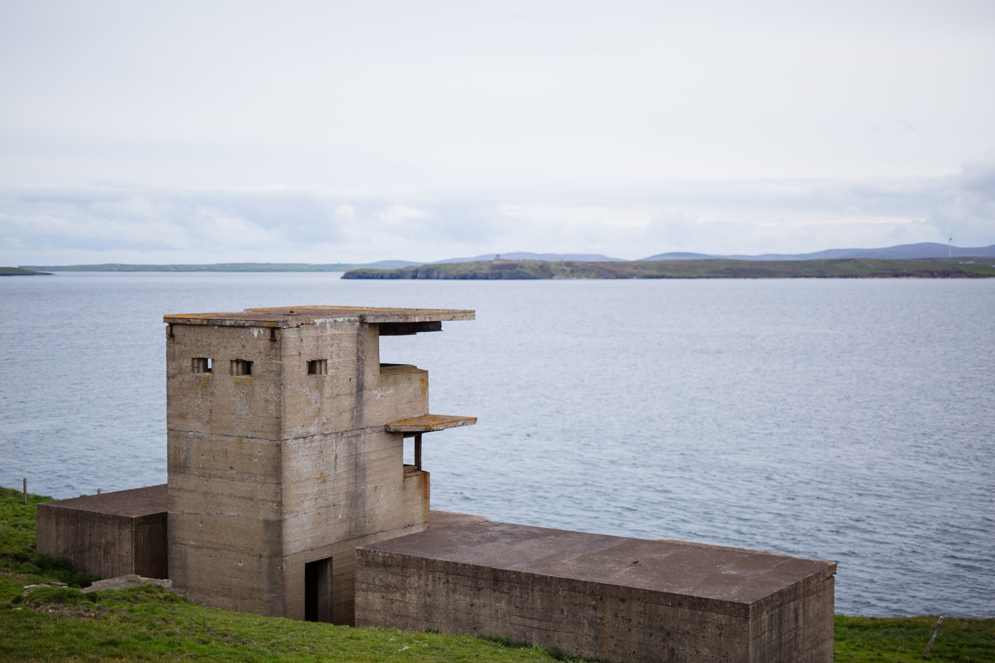
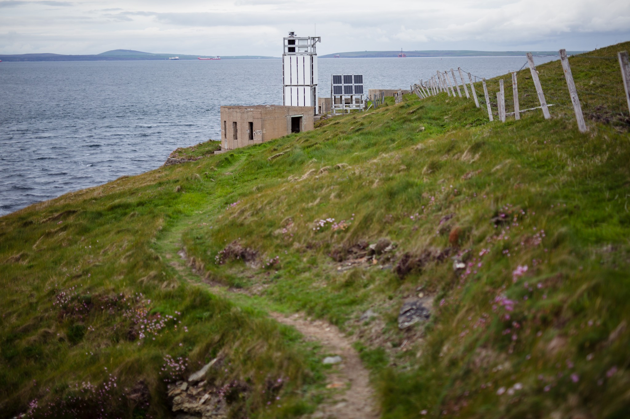
Looking directly across Hoxa Sound you’ll make out the Buchanan Battery in Flotta, whose searchlights and guns were intended to work in tandem with Balfour against the ever-present threat of attack by German torpedo boats.
Further to the left, on Flotta’s high southern headland, is the impressive Stanger Head observation tower, while to the right the island’s large oil terminal can be seen. Nestled into the landscape, it’s a surprisingly discreet structure given that it handles around 10% of the UK’s oil production.
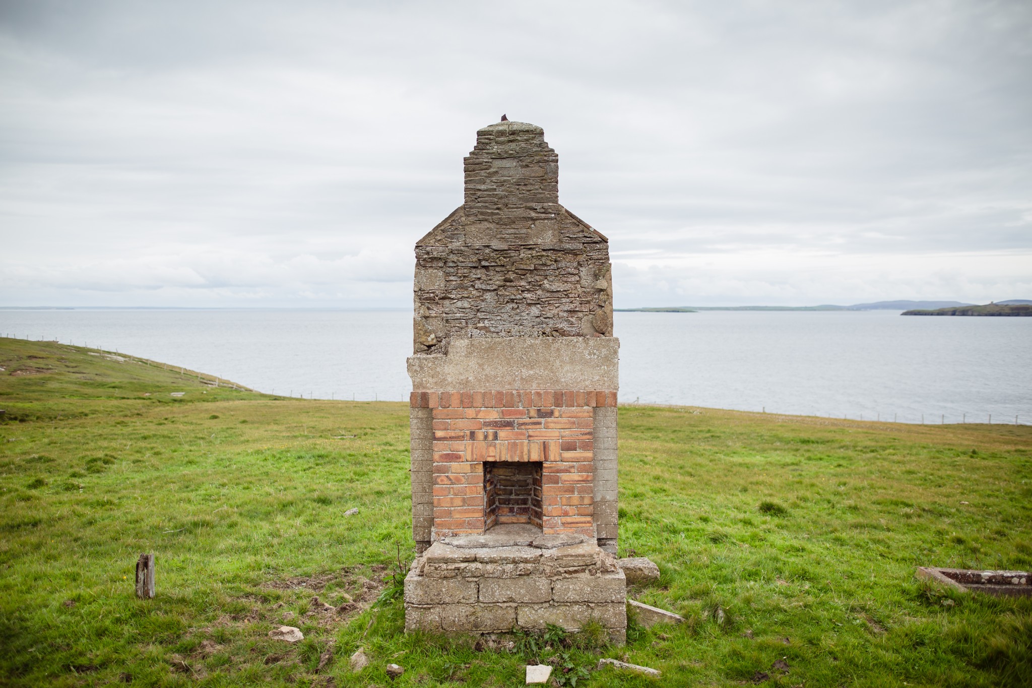
Continue northeast along the coast past the small lighthouse and wartime searchlight emplacements, until you arrive at a pebbly bay. Look for the wooden kissing gate on your right which takes you up to The Bu, and the main track leading back to the car park.
Visit the Scottish Outdoor Access Code website for more information and advice on how to enjoy the outdoors responsibly.
Further information
- Places of interest
South Ronaldsay has a number of other attractions. The village of St Margaret's Hope is a beautiful place to spend some time, with its old stone houses and slipways. The Smiddy Museum is well worth a visit, and the local Workshop & Loft Gallery has regular exhibitions of art and quality handmade goods for sale.
The village is also home to an excellent nine-hole golf course (with 18 tees).
The nearby beach at the Sands o'Wright is the perfect spot stop for a picnic before or after your walk. Close to the Hoxa Head car park you'll find the Hoxa Tapestry Gallery. Featuring tapestries and artwork by Leila and Jo Thomson, the gallery is well worth a browse.
- Food & drink
The village of St Margaret's Hope has a number of food & drink options. The Murray Arms Hotel serves meals and refreshments in its popular restaurant. Robertsons on the nearby Church Road also offers meals, drinks and snacks. There are two well-stocked shops in the village too - Doulls and The Trading Post.
- Transport & services
The start point of the walk is best reached using private transport, though the village of St Margaret’s Hope is just three miles away and is well-served by the daily X1 bus from Kirkwall. View the full timetable on the Orkney Islands Council website. For those happy to add an additional 9km to their round route it’s a pleasant walk on a fine day.
There are no petrol pumps available south of Kirkwall so remember to fill up before leaving the town.
Public toilets are available in St Margaret's Hope and at the Sands o'Wright.