A satisfying walk around the coast of one of Orkney’s most overlooked islands.
Graemsay is a small island, around three kilometres long, defiantly cleaving the tides midway between the Orkney Mainland and its high looming neighbour, Hoy.
Despite its modest size, a circumnavigation of the island takes you through a wide variety of landscape, each with its attendant wildlife.
Distance
10.5km
Grade
Grading: 4
Duration
4hrs
Terrain
Mainly coastal grass. Rough and tussocky in places. Some farm tracks and quiet single-track road. Likely to encounter livestock.
Map description
OS Explorer 462 (or 463); OS Landranger 6
After catching the regular foot passenger ferry from Stromness turn left then right, following the road uphill from the pier.
At the next righthand bend, around 500m from the pier, look for a wooden signpost on your left pointing to the ‘South Shore’. Turn left to follow this track for around 1km to reach a picnic bench at the shore above the splendidly named Fishy Geo.

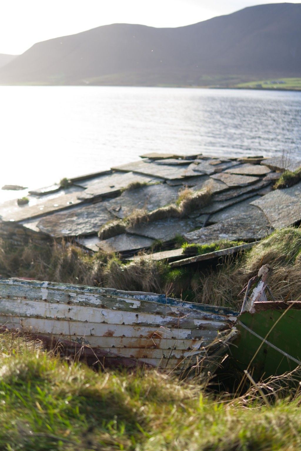
Turn right here to follow the coast southwest then west. It’s a slightly rough, grassy route, tussocky in places. After around 1km you’ll come to the first of a series of boat nousts dotted around the island. These are the sites where the island’s fishing boats were kept. Curved indents have been dug into the grassy banks at the top of the shore, allowing the traditional Orkney yoles to be nestled snuggly into the landscape, safe from wind and wave.
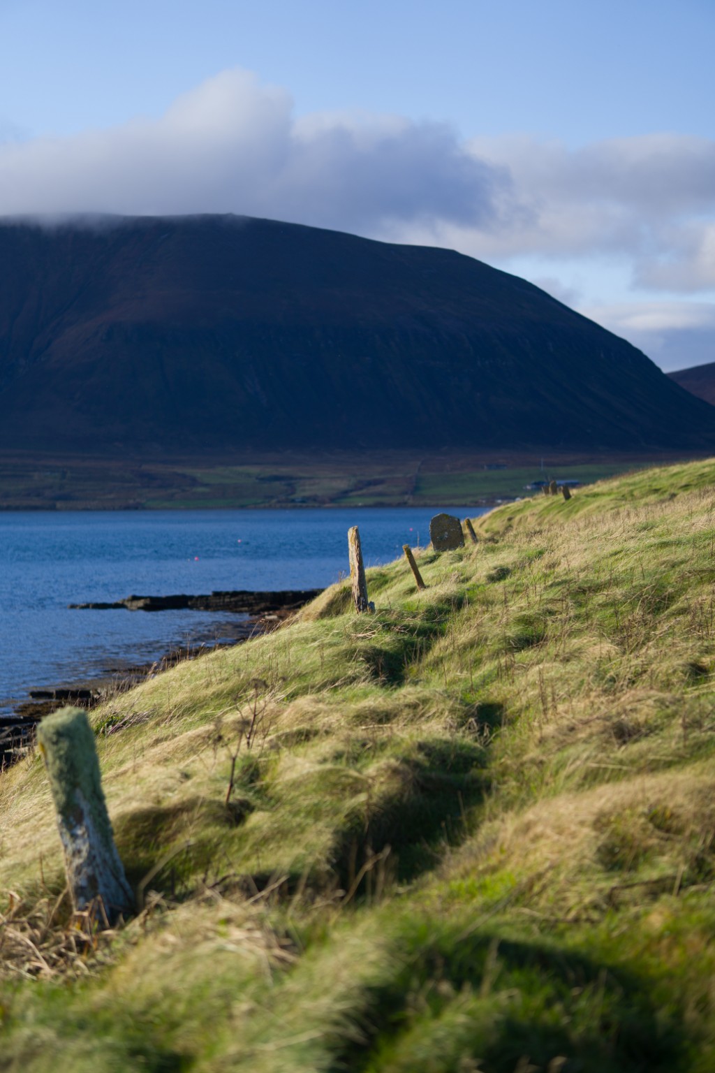
Carry on west for a further 200m to reach a sign directing you down some wooden steps onto the shore, in order to avoid a rough section on the banks above. (At the time of writing, these steps were slightly rotten, so do take care.) Walk 200 metres to the next set of wooden steps (the rocks at the foot of these steps can be very slippery in wet weather), ascending these to arrive alongside the semi-ruinous kirk.
Here you’ll find one of many picnic benches which are thoughtfully provided throughout the route. It’s a fine point to stop for a break with a fabulous view across Burra Sound to the rounded peaks of Ward Hill and Cuilags in Hoy.
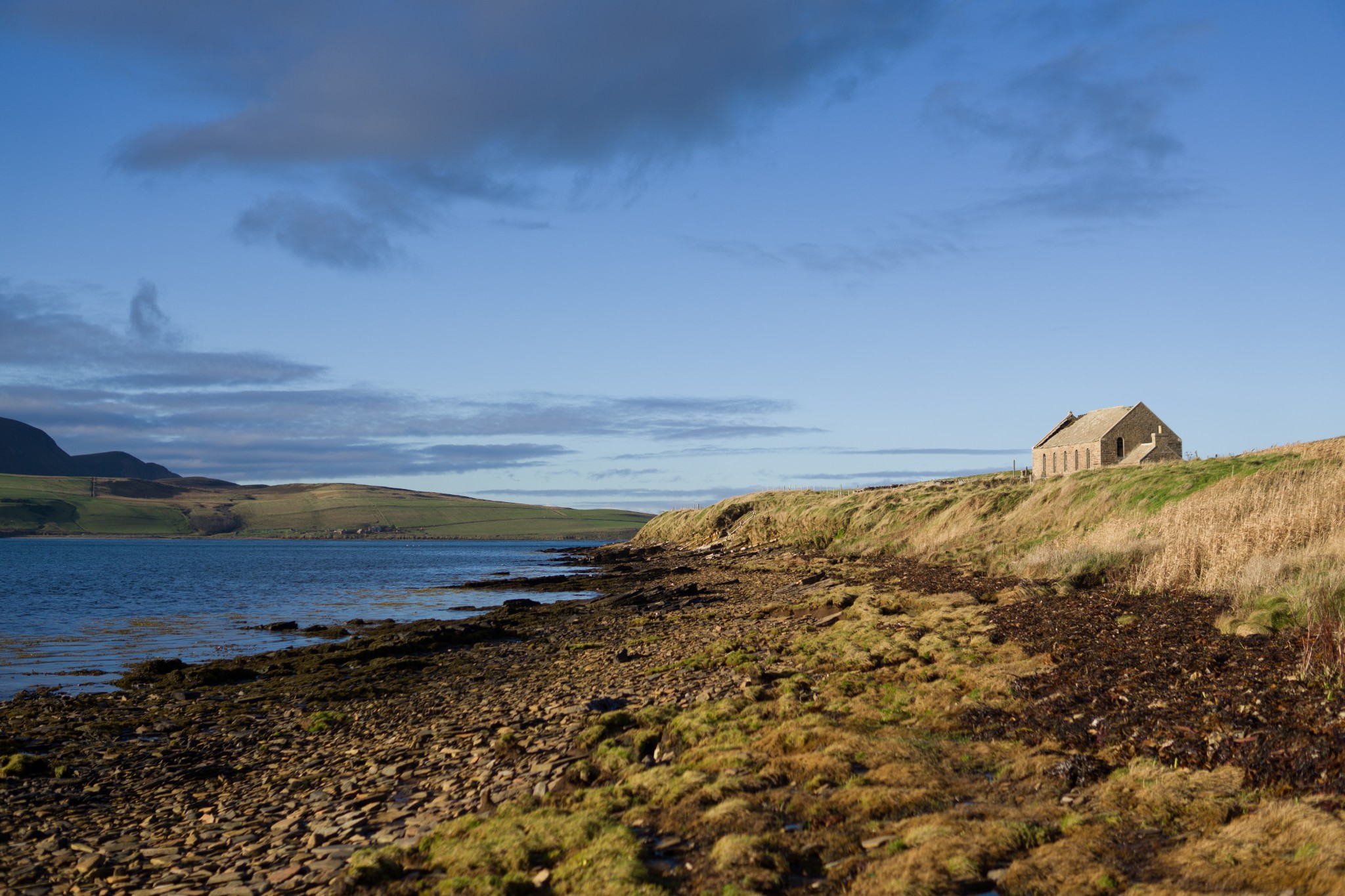
A further 800m along the coast you come to another noust at Skeafea, where one last yole is gently rotting into its noust. Following the coast, the route gradually begins to turn north. Just beyond the headland of Hestor is Bride’s Noust, supposedly the site of a 12th century chapel and graveyard. Nothing remains of the structure now, though much of the stone may have been reused in the construction of more recent buildings, the footings of which can still be seen.
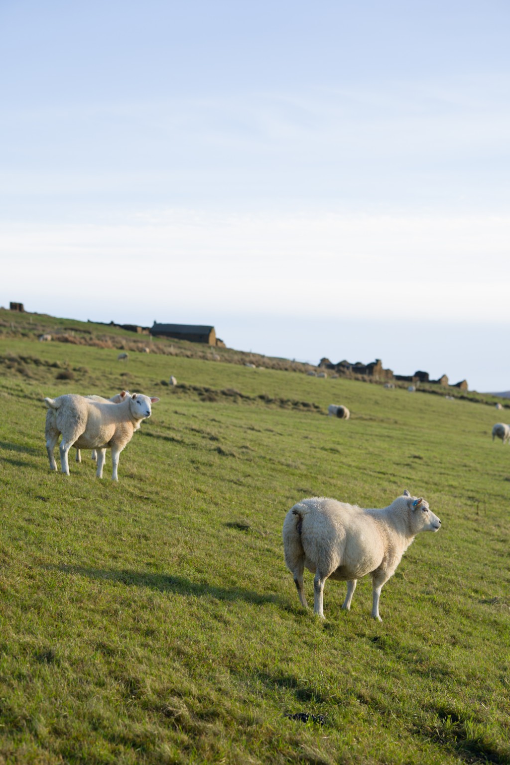
Around 1km beyond the boat nousts at Skeafea a small arrow points you through a wooden gate to head uphill through a field (do take particular care if there’s livestock around). At the top of this field go through a metal farm gate before immediately turning left to pass through a further gate, then turn right to head straight uphill.
At this point a small wooden gate leads onto a tarmac road. Turn left here and take in the views as you walk the next 300m, the highest point on the route.
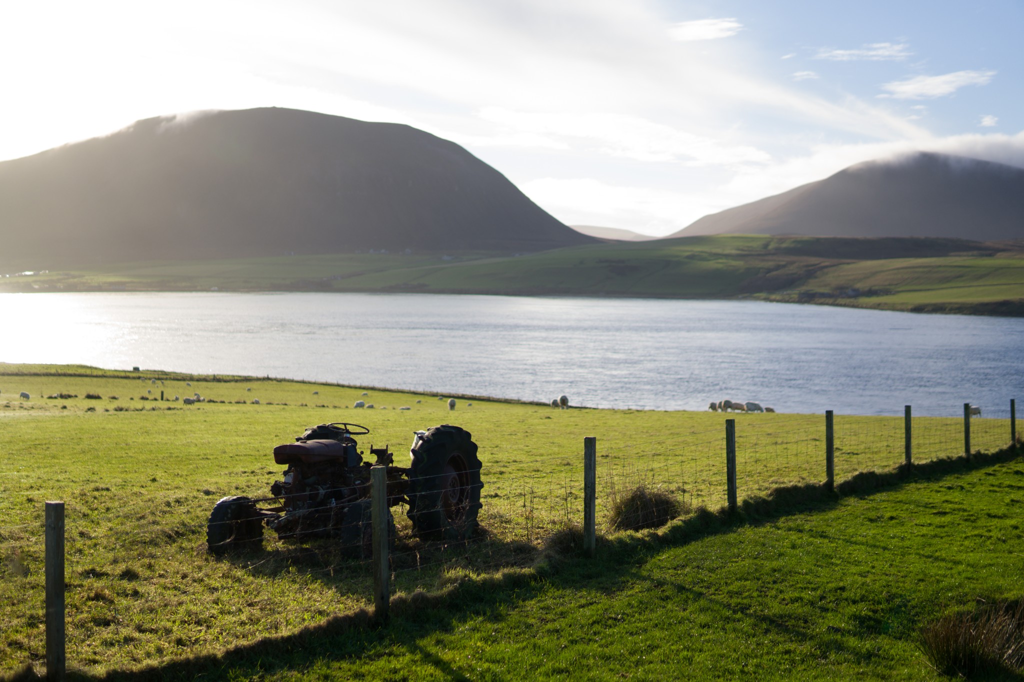
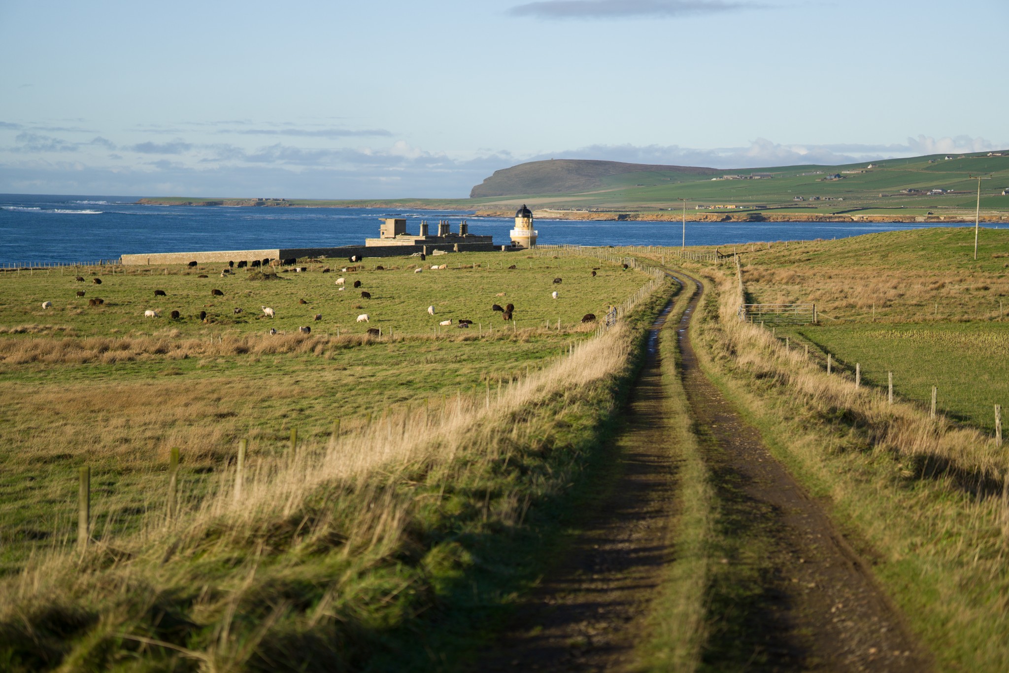
As the road takes a sharp right, turn instead to your left to follow a vehicular track towards the obvious lighthouse of Hoy Low. After 500m look for a wide grassy track on your left heading directly towards the shore. On reaching the shore turn right to follow the coast to reach the lighthouse and the gun emplacements which formed part of the impressive defences which guarded the approaches to the vital naval anchorage of Scapa Flow.
But even in times of peace, navigating this tide-swept channel could be fraught with danger. On New Year’s Day 1866 the young men of Graemsay were battling over the annual east versus west traditional ba’ game when they spotted a large vessel, her sails in tatters, struggling with the tides in Hoy Sound. As the ship Albion was driven onto rocks here below the lighthouse the men launched their small boats in order to save the lives of those onboard. Sadly, one Graemsay man, Joseph Mowat, was killed when his boat was overturned by the paddle of a steamship from Stromness, which had also joined in the rescue.
Ten passengers and crew were also drowned in the sinking of the Albion. The loss led to the establishment of the RNLI lifeboat station in Stromness. Generations of crew have braved this notorious stretch of tide and the open Atlantic beyond, saving scores of lives.
Just before reaching the lighthouse, pass through a metal farm gate. Follow the line of the high stone wall then cross diagonally over the field to reach the track. Turn right, after around 200m pass through a metal gate before turning immediately left to pass through another gate into a field. Turn left and follow the line of the fence to reach the shore.
The route now heads southeast, easy going at first over closely cropped coastal heath. Some care is required at one point where the track has subsided a little. After around 1km, as the route curves around to the south, look for a track heading inland just before you reach the croft of Quoys. Follow this track for 200m before reaching the public road.
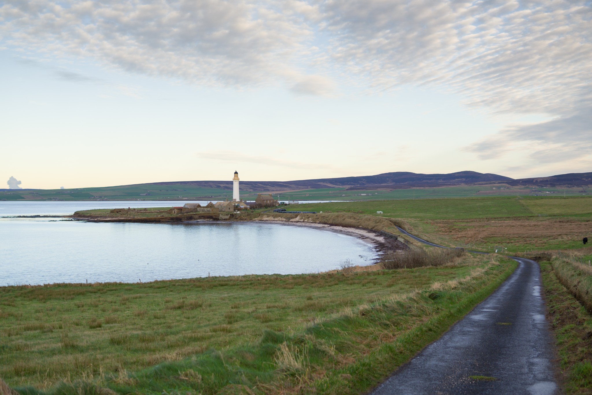
On reaching the road turn left, passing the island’s tiny community centre. The picturesque Bay of Sandside is on your left. Either follow the road or walk along the beach to reach the large house of Sandside where the road turns right. The fine lighthouse of Hoy High can be admired from the road but do keep in mind that both the island’s lighthouses are private residences and keep a respectful distance.
Follow the road for 1km to return to the pier and the boat back to Stromness. Don’t forget to fill in the visitors’ book in the island’s well-maintained ferry waiting room.
Visit the Scottish Outdoor Access Code website for more information and advice on how to enjoy the outdoors responsibly.
Further information
- Places of interest
Perhaps the main attraction of Graemsay is the peace and quiet it offers. It's a fine place to spot birds and sealife, and this coastal route is the perfect way to experience its natural highlights at their best.
Sandside beach is a stunning stretch of sand at low tide with beautiful views back towards Stromness.
The island is famous for its two lighthouses but both are private residences and not open to the public, so remember to keep a respectful distance.
- Food & drink
There are no shopping or eating out options in Graemsay so do make sure to take enough food and drink with you during your visit.
- Transport & services
Daily ferries connect Graemsay with Stromness on the Orkney Mainland, and Moaness in Hoy. This service is passenger only. View timetables on the Orkney Ferries website.
Public toilets are available at the Graemsay pier.