Shapinsay is one of easiest of our islands to reach.
A short twenty five-minute hop on the ferry from the centre of Kirkwall and you’ll find quiet roads, and a rich and varied tapestry of surrounding landscapes and views on this family-friendly cycle.
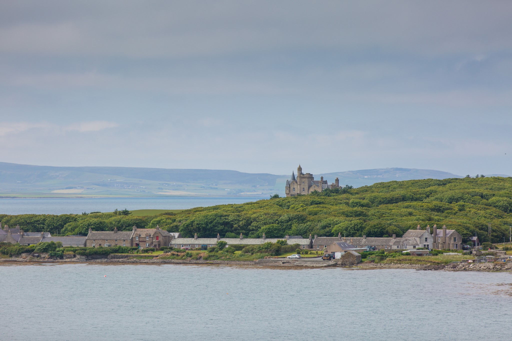
Starting at the pier either saddle up or collect your hired e-bike from the island’s Development Trust office at the Boathouse in Balfour village (non-electric children’s bikes are available too).

Head north through the village, before keeping right to pass the school and straight up the short brae that passes the island’s war memorial. There’s a fine view from here back across the village, with Balfour Castle rising behind.
Continue eastwards for around 3km (though there is an option to take the first road on your left after around 1.3km and create a much shorter circuit, if little legs are struggling). Turn left at the sign for Frustigarth, heading in a generally northerly direction.
After around 1km you’ll come to a very fine Neolithic standing stone. The Mor Stein stands around ten feet tall and legend has it that the stone was flung across the water from the neighbouring island of Stronsay by one of Orkney’s many giants. There’s a picnic bench here and, at around the halfway point in the route, it’s a good spot for a break.
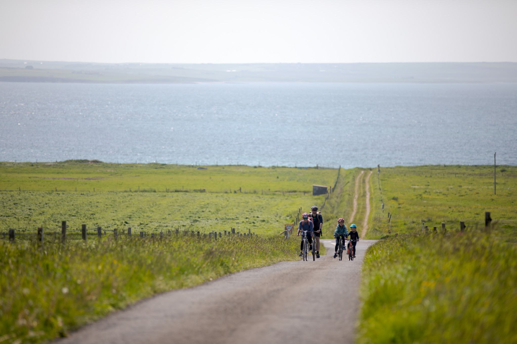
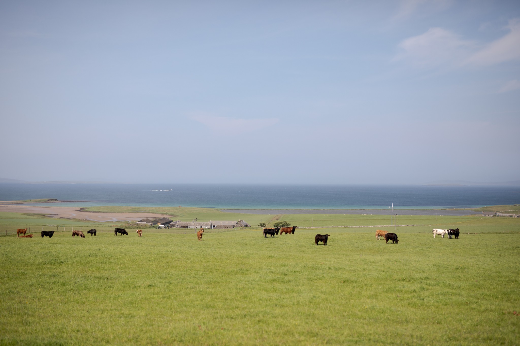
Carry on north as the heathery heathland surrounding the Mor Stein gives way again to fertile farmland. After 1km the road takes a sharp left. From here there are good views across the Bay of Linton and up the east coast of the island, with Stronsay, Eday and Sanday beyond.

After a further 1km you will come to a junction with the main road which runs up the spine of the island. Turn left here (those looking for a more challenging route can turn right at this junction to head to the northern tip of the island near Sandy Geo. This adds around 9km - there and back - to the route and can include a stop at the Iron Age Burroughston Broch).
After around 1km there’s a picnic bench on your right-hand side, with the option to leave the bikes and walk around 1km down to the Odin Stone (though be warned, the final section is quite rough!)

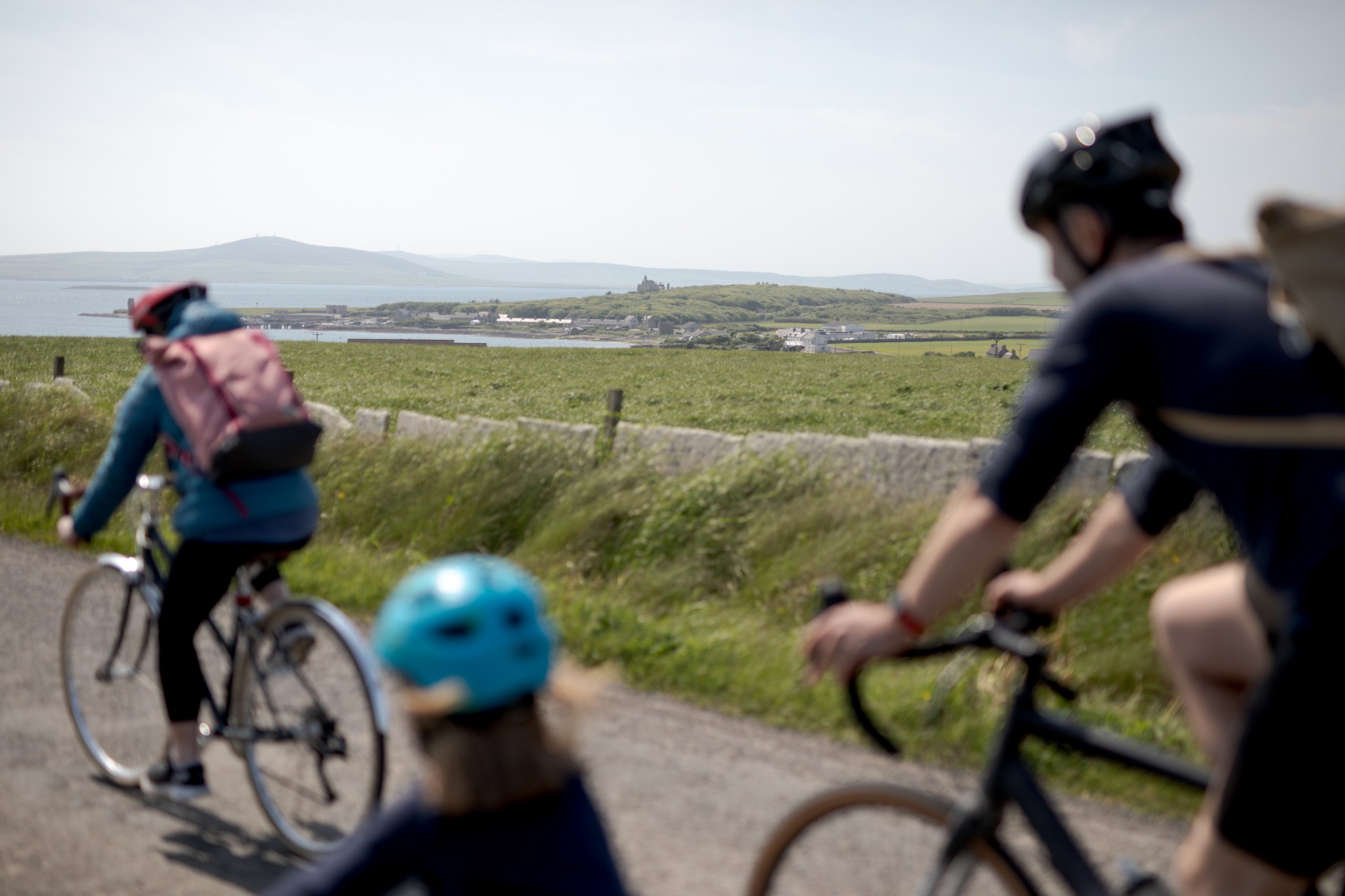
After a further 2km you’ll re-join the outbound route at the war memorial.
If there’s still energy left in the legs and time before the ferry, you may want to turn right before the school, heading 1km gently uphill to the RSPB hide overlooking the Mill Dam Nature Reserve. It’s a great place to see birdlife, particularly in spring and early summer. Our Balfour village & Mill Dam reserve walking route is the perfect way to explore this area.
- Plan your trip to Shapinsay
Daily ferries connect Shapinsay and Kirkwall. View timetables and book online via the Orkney Ferries website. Booking in advance is recommended, and bikes can be carried for free.
There are two public toilets available in Shapinsay – one in the Gatehouse Square, just up from the old pier, and another at the Shapinsay Community School play park.
Find out more about Shapinsay on the island's Explore page, or visit the official island website.
- Food & drink
The excellent island shop, Thomas Sinclair, is found in Balfour village and offers a wide range of food and drink options. The Smithy cafe/bar and restaurant recently reopened and offers snacks, light bites and refreshments.
This cycle route information was funded through the North Isles Landscape Partnership Scheme by the National Lottery Heritage Fund.